Summerlike temperatures return as the Georgia National Fair rolls on
MACON, Georgia (41NBC/WMGT) – Temperatures will remain several degrees above normal for this time of year in the wake of Hurricane Isaias.
This Evening


A warm, sunny, and breezy afternoon will become a cool and seasonal night with temperatures dropping into the mid to upper 50s by Tuesday morning. Skies will remain clear with a light wind flowing from the north-northwest.
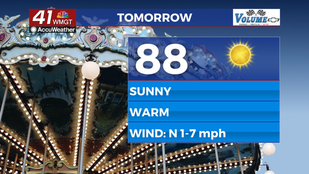
Tomorrow


Tuesday will be another sunny and warm day as a few more Middle Georgia locations may climb into the lower 90s for afternoon highs. The wind will continue from the north around 5 mph.


Overnight will be cool and calm again with temperatures mostly dropping into the upper 50s around Middle Georgia. The wind will be light and variable.
Wednesday and Beyond


Expect peak temperatures for the week this Wednesday and Thursday across Middle Georgia as around half the region likely reaches that 90 degree mark. The wind will shift to out of the south over the back days of the work week, however humidity is expected to remain low into the weekend when wind will shift again to out of the north. These stronger northerly winds will bring in below average temperatures for both the afternoon and overnight periods this coming weekend.

Follow Chief Meteorologist Aaron Lowery on Facebook (Aaron Lowery 41NBC) and X (@ALowWX) for weather updates throughout the day. Also, you can watch his forecasts Monday through Friday on 41NBC News at 4, 5, 5:30, 6, and 11 p.m.