Storm odds drop Wednesday
MACON, Georgia (41NBC/WMGT) – The odds for storms will drop for most of Middle Georgia Wednesday following Tuesday night’s cold front.
This Evening


Scattered storms are ongoing around Middle Georgia and will continue through the suppertime hours before dwindling. A couple of small showers may linger past sunset, but it will not be a rainy night. Expect scattered clouds overhead with overnight lows in the mid 70s. Wind will be out of the southwest at around 5 mph. Patchy fog will also be possible leading up to tomorrow morning.
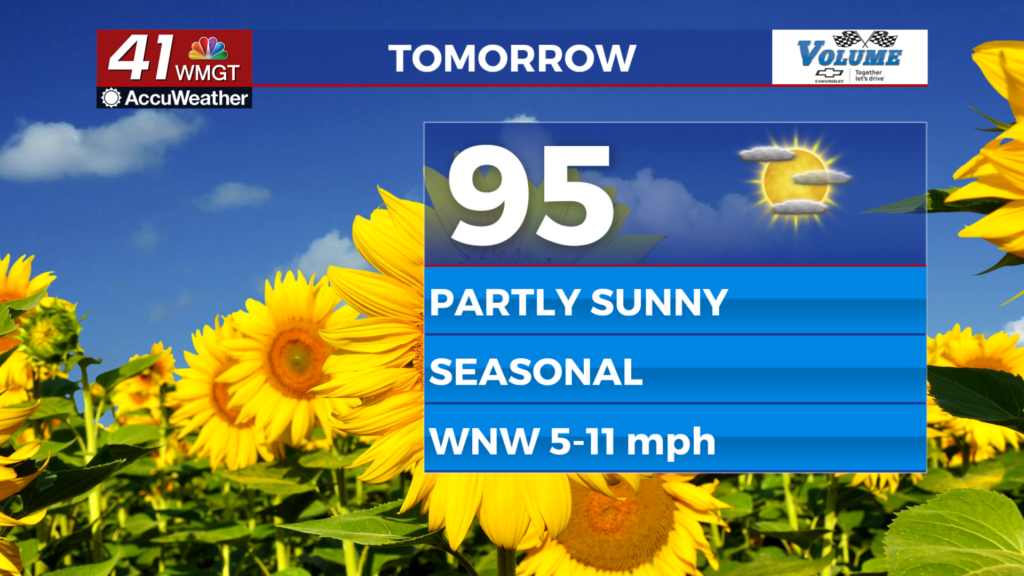
Tomorrow


Expect partly sunny skies for most of the region with highs climbing into the mid to upper 90s and heat indexes over the 100 degree mark once again. Most of the region will likely not see rain, however a bit more cloud cover and an isolated storm or two will be possible in the southeastern counties of Middle Georgia. These should be short lived.


Overnight skies will be mostly clear with temperatures dropping into the lower 70s for most of the region. Wind will be out of the northwest around 5 mph.
Thursday and Beyond


Rain is not expected Thursday as the humidity remains a tad lower for a day following Tuesday night/Wednesday morning’s cold front. Highs will still reach the mid 90s with real feels in the upper 90s/low triple digits. Friday will see a chance for a shower return, however even heading into the weekend there is no widespread rain in sight. Humidity will ramp back up gradually through this next weekend.

Follow Meteorologist Aaron Lowery on Facebook (Aaron Lowery 41NBC) and Twitter (@ALowWX) for weather updates throughout the day. Also, you can watch his forecasts Monday through Friday on 41NBC News at 4, 5, 5:30, 6, and 11 p.m.


