Heat stays locked in on Middle Georgia
MACON, Georgia (41NBC/WMGT) – The ridge influencing our hot and humid conditions has shifted westward and has allowed drier air to work into the region. This should provide us with a 


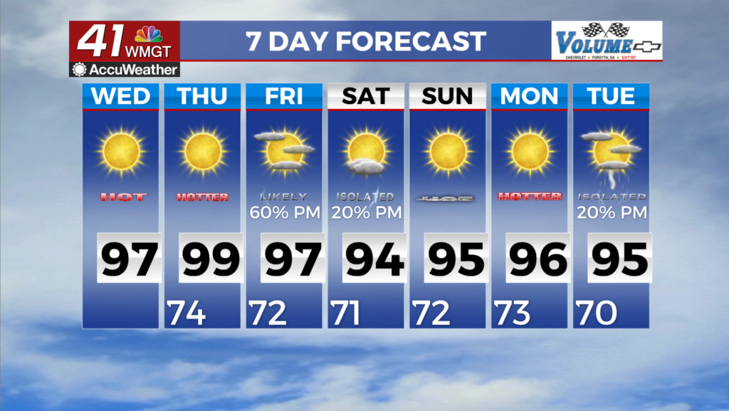
brief reprieve from the overly humid August conditions we’ve experienced so far this month. Dewpoint temperatures have already fallen into the upper 60s over North Georgia behind a surface front. For Wednesday, our region can look forward to a slightly more comfortable morning with temperatures starting in the mid 60s in northeast Georgia to mid 70s for our southern areas. Afternoon highs will climb back into the low to mid 90s for most locations, but a Heat Advisory will not be needed for Wednesday thanks to the drier conditions. Precipitation chances will be close 


to null through Wednesday as our pattern briefly dries out before rain chances tick back up later in the week. The main story for the long term period will be oppressive heat for parts of the area, primarily on Thursday and Friday. At this time, heat index values are generally expected to range from 100 to 107, so Heat Advisories will probably be issued for parts of the area both days. Actual air temperatures will range from the mid-90s to around 100 degrees, so conditions will be downright oppressive and even hazardous for vulnerable groups, those without air conditioning, outdoor workers, babies, the elderly, and those with certain medical conditions. Areawide rain chances return on Friday as an amplifying ridge over the West forces expansive troughing over the East. Surface-based instability should be plentiful, after all it’s Summer in the Southeast. Barring significant capping, at least isolated to scattered convection should occur across the area.