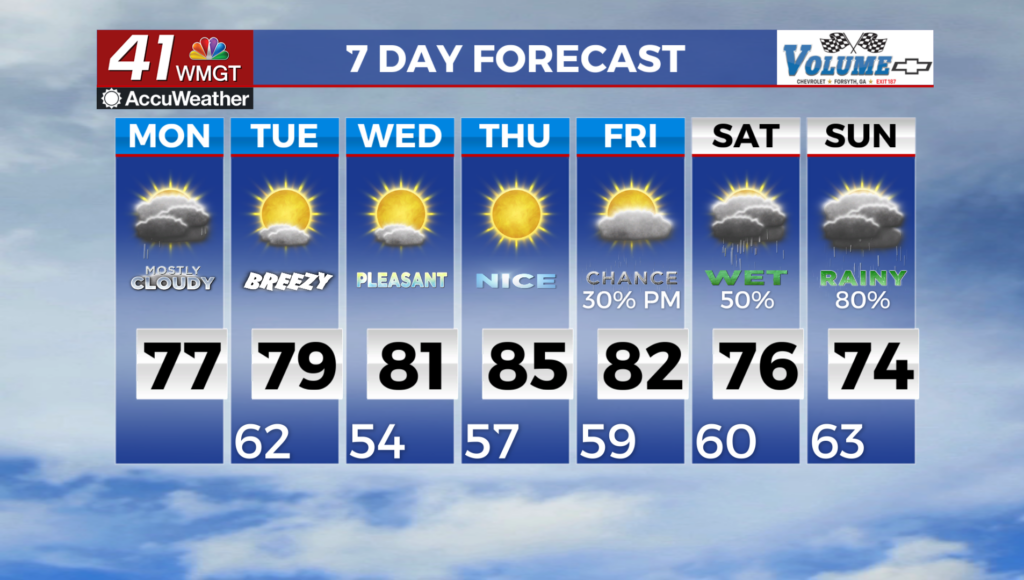
Storms return Friday as a cold front arrives
MACON, Georgia (41NBC/WMGT) – An incoming cold front from the north will bring scattered storms Friday afternoon and evening as well as cool temperatures a bit into the weekend.
This Evening


It’s been a sunny and hot afternoon and things should remain relatively clear through much of the evening. However cloud cover is expected to arrive after sunset and some isolated storms or showers will be possible in the northern third of the region. Expect low temperatures in the low to mid 70s rolling into Friday morning. The wind tonight will be light from the west-southwest around 5 mph.
Tomorrow


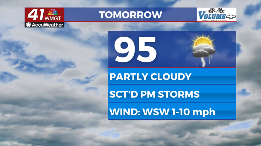
Middle Georgia will be on track for another hot afternoon to end the work week however added cloud cover and scattered afternoon storms will likely cut several of those highs off in the mid 90s.


A Level 1 “Marginal” threat for severe storms currently includes the southeastern 2/3 of Middle Georgia for Friday afternoon with the driving hazard being powerful downburst wind gusts ranging from 40-60 mph. Some small hail will also be possible in the most intense storms. Ambient wind will flow out of the west-southwest at 5-10 mph.


Overnight a few showers or a storm may linger early with scattered clouds sticking around into Saturday morning. Temperatures will drop into the lower 70s for most of the region to begin the weekend.
This Weekend and Beyond


The cold front responsible for storms Friday will clear Middle Georgia Saturday afternoon possibly bringing a few storms to the southeastern third of the region in the middle of the day. Temperatures will range from the lower 90s into the upper 90s Saturday afternoon with Sunday seeing more sunshine and mostly low-mid 90s. Expect less humidity over the back half of the weekend and into early next week.

Follow Chief Meteorologist Aaron Lowery on Facebook (Aaron Lowery 41NBC) and X (@ALowWX) for weather updates throughout the day. Also, you can watch his forecasts Monday through Friday on 41NBC News at 4, 5, 5:30, 6, and 11 p.m.