Storm chances remain elevated Tuesday
MACON, Georgia (41NBC/WMGT) – Storm chances are likely again Tuesday afternoon thanks to a weak system in the southeastern US.
This Evening


Isolated showers and storms are likely to persist through the evening hours and into tonight. While rain is not expected all night long showers are likely to continue after midnight. Temperatures will reach their valleys around 70 degrees accompanied by light and variable winds. Some fog will be possible leading into the sunrise on Tuesday as well.
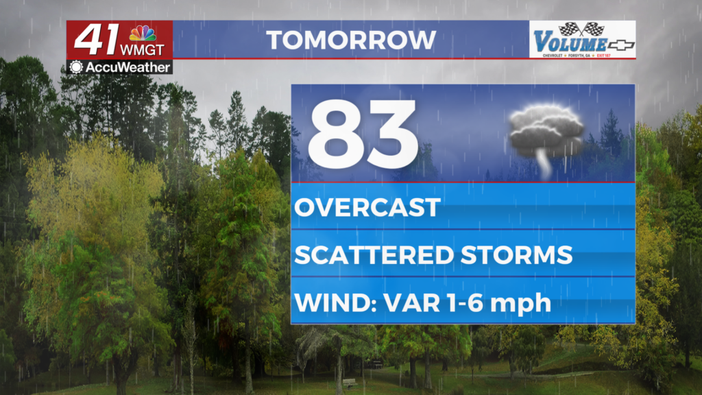
Tomorrow


Middle Georgians should keep the rain gear handy Tuesday as showers and storms will be possible throughout the day likely beginning during the late morning hours. Severe weather is not expected however the most intense activity may bring a bit of hail or a couple of strong wind gusts. Temperatures will peak in the low to mid 80s as the wind remains light and variable.


Overnight a couple showers may linger early but after that it will be partly cloudy and seasonal with most spots expected to drop into the upper 60s leading into Wednesday. The wind will again be light and variable with some fog possible leading into the start of Wednesday.
Wednesday and Beyond


Sunnier skies will be back starting Wednesday along with a few isolated showers and storms. Temperatures should push 90 Wednesday afternoon becoming even warmer leading towards the weekend. Some real feels (heat indexes) may push triple digits by the week’s end.

Follow Chief Meteorologist Aaron Lowery on Facebook (Aaron Lowery 41NBC) and X (@ALowWX) for weather updates throughout the day. Also, you can watch his forecasts Monday through Friday on 41NBC News at 4, 5, 5:30, 6, and 11 p.m.