

More sunshine and pleasant breezes Wednesday
MACON, Georgia (41NBC/WMGT) – Cloud cover should be at its lowest amount for the week around Middle Georgia Wednesday afternoon as temperatures reach just above average.
This Evening
It‘s been a split forecast afternoon around Middle Georgia as the sun has returned for the northern 2/3 of the region while clouds lingered for the southern third. Those clouds should largely clear out overnight as temperatures drop into the mid to upper 50s around the region. No rain is expected. The wind will persist out of the northeast at 5-10 mph.
Tomorrow
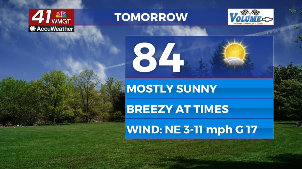
Wednesday should be the sunniest day of the week around Middle Georgia with temperatures rising into the low to mid 80s. It will be slightly breezy again as the wind flows from the northeast at 5-12 mph. Gusts should range from 15-20 mph.


Overnight some clouds will return, particularly at the upper levels. Temperatures should drop into the mid 50s around Middle Georgia as the northeast wind slows to around 5 mph.
Thursday and Beyond
Cloud cover will ramp up Thursday afternoon with most of them again being at the upper levels of the atmosphere. This will allow temperatures to climb into the mid 80s around the region. Wind will be light out of the east-northeast until it picks up over the weekend. Rain odds will climb Friday as the system in the Gulf creeps northward towards the Gulf Coast heading into the weekend. Expect a lot of rain around Middle Georgia this weekend due to this system.
The System in the Gulf
Invest92L will become Tropical Depression Nine tonight before becoming Tropical Storm Isaias in the near future. As of now it is expected to make a landfall somewhere on the Gulf Coast over the first half of the coming weekend. Many variables are still unknown with this storm (intensity, size, speed) and the track will likely continue to shift as the week goes on. Stay with Chief Meteorologist Aaron Lowery for updates as they become available.

Follow Chief Meteorologist Aaron Lowery on Facebook (Aaron Lowery 41NBC) and X (@ALowWX) for weather updates throughout the day. Also, you can watch his forecasts Monday through Friday on 41NBC News at 4, 5, 5:30, 6, and 11 p.m.