Isolated storm odds return Thursday afternoon
MACON, Georgia (41NBC/WMGT) – Temperatures and humidity will increase Thursday and a few showers and storms are expected over the back half of the day.
This Evening


It’s a warm day across Middle Georgia with temperatures peaking around the average for this time of year. While a stray shower or storm will be possible through the evening most of the region will stay dry. Cumulus cloud fields from the afternoon will largely dissipate heading into the late evening leaving Middle Georgia with mostly clear skies overnight. Temperatures will largely valley in the lower 70s however the coolest spots may still drop into the upper 60s. The wind will be light out of the south. Some patchy fog will also be possible again leading into the sunrise Thursday.
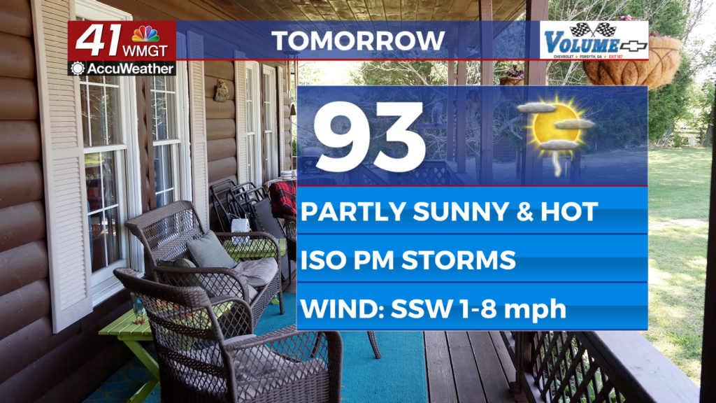
Tomorrow


Temperatures will be even warmer on Thursday as conditions reach into the low to mid 90s across the region. Skies will be partly sunny and a few showers and storms are likely over the back half of the day. The most intense storms may bring a bit of hail or a couple of damaging wind gusts, however organized severe weather is not expected. The wind will be light from the south-southwest around 5 mph.


A handful of clouds will stick around into the early parts of the night before more clear after midnight. Temperatures will valley in the low to mid 70s as the wind continues from the southwest around 5 mph.
Friday and Beyond


Storm odds will increase further Friday afternoon and evening as temperatures push into the mid to upper 90s across the region. Around half the region will likely see storms Friday with even higher odds through the weekend and into early next week. Temperatures will stay hot until the middle of next week when another cold front may drop conditions back below average.

Follow Chief Meteorologist Aaron Lowery on Facebook (Aaron Lowery 41NBC) and X (@ALowWX) for weather updates throughout the day. Also, you can watch his forecasts Monday through Friday on 41NBC News at 4, 5, 5:30, 6, and 11 p.m.