
Humidity drops and sunshine returns Tuesday
MACON, Georgia (41NBC/WMGT) – A cold front responsible for storms Sunday evening and clouds today will clear the way for more sunshine and drier conditions heading into the middle of the week.
This Evening
Labor Day has been mostly cloudy for much of Middle Georgia as temperatures have largely remained below 90 degrees this afternoon. Heat index values have mostly been in the lower 90s. A few showers and a storm or two will be possible through the evening and into early tonight. Temperatures should drop below 70 degrees for a decent chunk of the region as the wind flows in from the east-northeast at 5-10 mph. Cloud cover will work to clear out some overnight as well.
Tomorrow
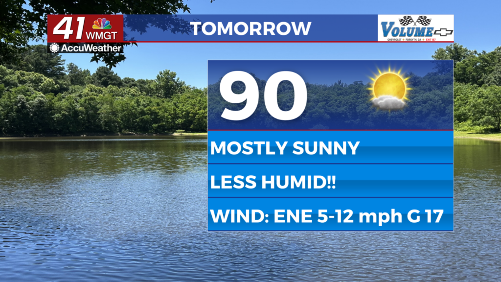
It will be a more pleasant day outdoors Tuesday as plenty of sun returns to Middle Georgia. Thanks to the cold front Sunday/Monday the dew points should drop into the upper 50s and lower 60s in the afternoon, making it feel less sticky outside as well. Rain is unlikely as temperatures largely peak in the lower 90s. The wind will flow from the east-northeast at 5-12 mph with gusts ranging from 15-20 mph.


Overnight will be clear with most if not all of Middle Georgia dropping below 70 degrees by Wednesday morning. The wind will be light out of the east.
Wednesday and Beyond
A couple of rain chances may return Wednesday afternoon/evening with isolated chances looking possible the rest of the week. Temperatures will climb above average again by Thursday afternoon with mid-upper 90s possible by the end of the week.

Follow Chief Meteorologist Aaron Lowery on Facebook (Aaron Lowery 41NBC) and X (@ALowWX) for weather updates throughout the day. Also, you can watch his forecasts Monday through Friday on 41NBC News at 4, 5, 5:30, 6, and 11 p.m.