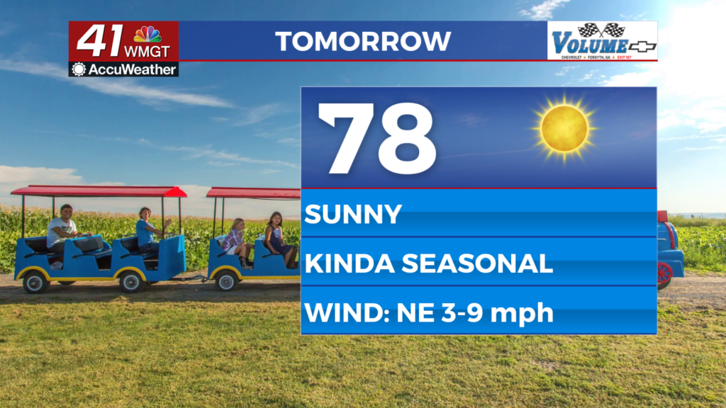
Seasonal temps ahead of a warm midweek
MACON, Georgia (41NBC/WMGT) – For the first time in quite awhile, we get to talk about the possibility of a small break in our weather pattern that brings some rain chances creeping into the 


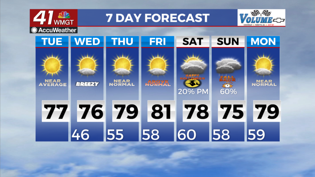
forecast, just in time for Halloween. The work week continues to look sunny and mild with daily high temperatures in the 70s and daily lows in the 40s and 50s. There will be some variations of a few degrees thanks to some moving pieces aloft on the periphery of the southeast, but the overall weather won’t feel much different day to day. Another potent trough diving across the northeast will bring yet another surface high over the Appalachians, brings another somewhat wedge-like airmass diving down the Appalachians and into the coverage area. This will reinforce the dry Fall-like air in place on Wednesday and could even keep highs closer to 70 or even the upper 60s in some places. Weak surface high pressure settles over the area Thursday into Friday and will slowly warm a bit, bringing us into the mid to upper 70s, maybe touching a few 80s in Middle Georgia by Friday. This airmass is dry and never really accesses any moisture thanks to a broad surface low 

that continues to churn just off the southeast coast, so no rain chances are expected. This all may begin to change a bit going into Saturday. The players will be another strong wave diving across the northern polar jet in the Northeast, building southwesterly flow aloft across the south, and a series of shortwaves embedded within that flow. Not surprising, uncertainty in the forecast is somewhat high, as the timing of each of these players may have big impacts on what we see. Of all the models, the scenario which seems to deliver rain has a faster timing of an initial shortwave within that southwest flow that runs into another potential wedge or Cold Air Damming across us, even if weak. This allows for some additional overrunning of moisture and lift within the broader lift provided by the weak shortwave that generates some shower potential. As of right now, the 20 to 30 percent showing up Saturday afternoon into the evening seems in line with the number of models showing something like the above. The rest push better precipitation chances later due to short wave timing being slower, initial wave being even weaker. Unfortunately, this means we can no longer say that Halloween will remain dry, and instead we will need to watch things.