Getting warmer Wednesday
We continue our warming trend Wednesday as highs push into the mid 70s. Rain and storms return later this week

Warm conditions continue across Middle Georgia this evening as clouds increase tonight.
Overnight lows will stay mainly in the mid and upper 40s under mostly cloudy skies.
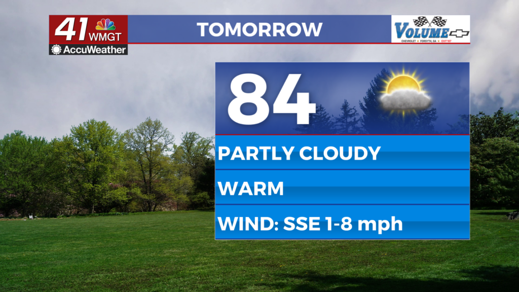
We will see some clearing tomorrow, but still expect partly cloudy skies through afternoon.
Highs Wednesday make a jump into the mid 70s with increasing humidity as well.

By Thursday a cold front will finally be moving into our area, bringing clouds and rain for the end of the week.
Rain chances look like they will hold off until Thursday afternoon/evening.
When rain does move in, we could see a few isolated strong thunderstorms as well.
Any strong storms will likely be relegated to our far southern counties.

Rain coverage will increase overnight Thursday and into the day Friday as the cold front stalls over our area.
This will be an all day rain event, with some areas seeing heavy rain.
By early Saturday the rain finally moves out, as an additional cold front finally pushes the stalled front east.

Rain totals across Middle and South Georgia will range from 1-3″.
Some spots could see isolated flooding, especially along rivers/streams and in low lying areas.

The weekend will bring a big cool down to the area with highs in the low and mid 50s.
Lows over the weekend will fall to the 30s, but we should stay mostly dry until Tuesday.


