Cooler and drier conditions are back for the weekend
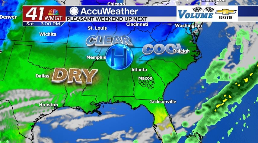
MACON, Georgia (41NBC/WMGT) – Cold and dry air is moving into the Peach State in the cold front’s wake.
Today


It was the warmest morning of the week across all of Middle Georgia as several spots around the regions recorded their 24 hour high for today during the overnight hours. The storms were luckily not very strong by the time they arrived in Middle Georgia and thus we only saw a few strong winds gusts and a short burst of heavy rain. Now throughout the rest of the day we will see the clouds clear out with clear skies returning across the board before sunset. Afternoon high temperatures today will range from the upper 50s into the mid 60s with the warmest spots being the southeastern counties. Those locations recorded highs close to or above 70 degrees not long after midnight. The wind will come in from the northwest at 10-15 mph throughout the day today with gusts still reaching up to 20 mph.


The wind will really be noticeable tonight as clear skies hang overhead and the dry conditions finish moving in. While the wind overnight will not be as strong as today, it will still be out of the northwest and making temperatures feel 5 or more degrees colder due to wind chill. Overnight lows will drop into the low 30s with many in the region likely reaching or falling below freezing.
Tomorrow


The sunny skies are back in full for our Saturday as high temperatures reach the lower and mid 60s. Winds will blow from the northwest at 10-15 mph with gusts still potentially reaching 20 mph, so wind chills will be felt throughout the afternoon.


Overnight skies will remain clear as the wind shifts from the northwest to the northeast ahead of the sunrise. Low temperatures will drop into the lower and mid 30s, but most if not all of the region will remain above freezing.
Sunday

There will still be plenty of sun on Sunday but clouds will begin to return, primarily high level cirrus clouds. Winds will shift to the southeast early, hovering between 5 and 10 mph throughout the day. This will begin to increase humidity and heat as high temperatures climb into the upper 60s around Middle Georgia.
Overnight cloud cover will continue to increase with winds still coming in from the southeast, only this time they should stay around 5 mph. The added cloud cover as well as southerly wind flow will warm low temperatures into the low and mid 40s, which is still chilly but nowhere near freezing.
Next Week

Showers are likely on Monday as highs return to the 70s. Many locations will begin to see 80s on Tuesday with the whole region seeing the 80s by Wednesday. There will be several days next week with persistent southerly winds to warm things up as well as build up plenty of humidity, making for many opportunities for showers throughout the week and thunderstorms late week with another cold front.

Follow Meteorologist Aaron Lowery on Facebook (Aaron Lowery 41NBC) and Twitter (@ALowWX) for weather updates throughout the day. Also, you can watch his forecasts Monday through Friday on 41NBC News at Daybreak (6-7 a.m.) and 41Today (11 a.m).


Leave a Reply