Sunshine is back for Middle Georgia
MACON, Georgia (41NBC/WMGT) – Middle Georgia is seeing sunny skies for the first time since Saturday afternoon.
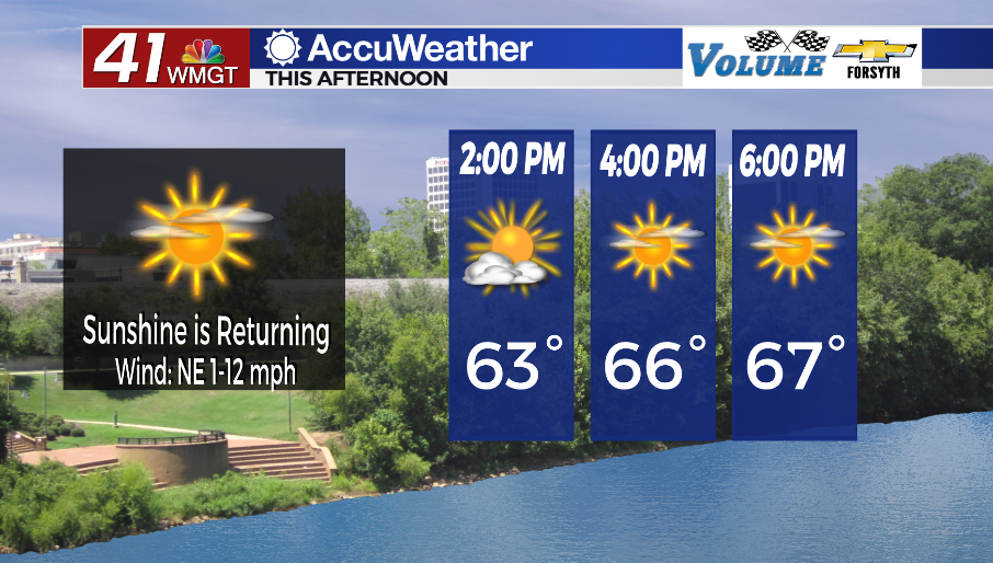
Today


Middle Georgians woke up this morning able to see the sunrise for the first time since Friday morning. And while some cirrus clouds are hanging around the region, they are doing very little to limit the suns impact early. We may see them thicken a bit more this afternoon, but overall conditions will remain pleasant. Highs will be in the upper 60s around the region today with northeasterly winds of 10 mph becoming calm as we roll into the evening.


Tonight skies will be completely clear for the first time since Friday afternoon. Temperatures will plummet into the lower 40s (possibly a couple of upper 30s) by tomorrow morning. Winds overnight will be light and variable.
Tomorrow


Sunny skies will stick with Middle Georgia throughout the day as temperatures jump into the mid to upper 70s for their peaks. Winds will blow from the east-southeast at around 5 mph. Middle Georgians would be wise to use sunblock if they plan on enjoying the more pleasant conditions outside. Unfortunately some of the local parks will likely remain closed due to the recent flooding.


Skies will remain mostly clear overnight, however some cirrus clouds are likely to move over the region ahead of the sunrise. Temperatures and dewpoints will likely be in the upper 40s and lower 50s accompanied by southeasterly winds of 5-10 mph. Some patchy fog will be possible in calmer areas or areas with more rainwater leftover from earlier in the week.
Friday and Beyond


Friday will be a mostly sunny afternoon with highs rising into the lower 80s for most of Middle Georgia. It will be a bit breezy as balmy south-southwesterly winds blow in at 8-15 mph (gusts up to 25 mph). Some spots could see feels like temperatures that are a bit hotter than the actuals during the peak afternoon hours. Cloud cover will increase during the overnight hours with some shower activity possible ahead of the sunrise Saturday.

Saturday will see thunderstorms with the majority of them occurring during the first half of the day. The southernmost counties could see activity linger later into the afternoon. At this time the SPC is inconclusive on a severe threat for Saturday although they have mentioned it does remain a possibility. However, the cold front arriving is expected to be greatly weakening due to the central low pressure moving well off to the northeast, and early rain and an abundance of cloud cover will likely limit overall convection. Don’t be surprised if there is a Level 1 risk issued ahead of Saturday’s storms. At this time, however, anything higher than that seems unlikely.
Sunday will see a decent amount of cloud cover but conditions should stay dry. Early next week, however, could be another wet one around the region.

Follow Meteorologist Aaron Lowery on Facebook (Aaron Lowery 41NBC) and Twitter (@ALowWX) for weather updates throughout the day. Also, you can watch his forecasts Monday through Friday on 41NBC News at Daybreak (5-7 a.m.) and 41Today (11 a.m).