
Heat advisories possible as the week goes on
MACON, Georgia (41NBC/WMGT) – Temperatures will reach into the mid to upper 90s with heat index values over 100 for the next few days.
This Evening
A partly sunny and hot afternoon will become a clear and muggy night around Middle Georgia as low temperatures only drop into the low to mid 70s, or 3-5 degrees above average. The wind will be light out of the south around 5 mph. A bit of patchy fog will be possible however no rain is expected.
Tomorrow
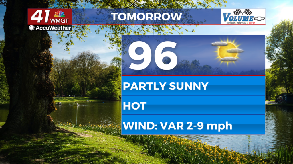
Wednesday will see more Middle Georgia locations with high temperatures over 95 degrees and heat index values may creep towards that 105 threshold for a Heat Advisory. If one is issued tomorrow it likely will not include the entirety of Middle Georgia however that will be possible later this week. The wind will be light and variable and while a stray shower is possible rain is very unlikely.


Overnight will be mostly clear and muggy with lows again expected in the low to mid 70s. The wind will be light out of the southeast.
Thursday and Beyond
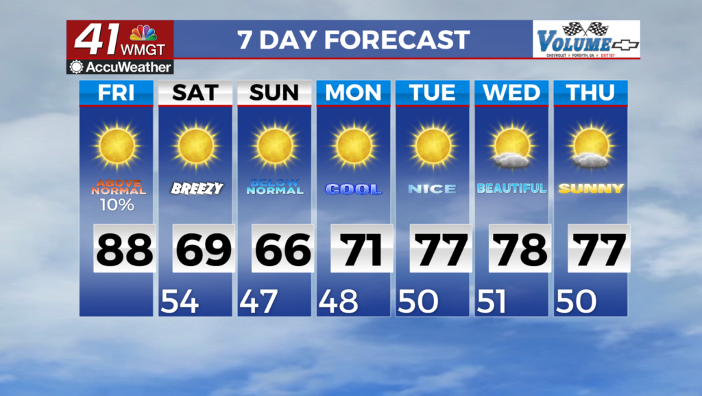
The rain chances for Thursday have dropped meaning there likely won’t be much of it to worry about through this work week. Temperatures will peak for the week on Friday and Saturday before increased rain odds this weekend associated with a weak front work to cool temperatures back towards the average early next week.
Watching the Tropics
Edouard made landfall earlier today in southeastern Texas as a strong tropical storm with 60+ mph winds. Much of eastern Texas is now under a flood watch as the storm slowly pushes inland. There is no other activity to track in the Atlantic basin while the Pacific continues to steal the show.

Follow Chief Meteorologist Aaron Lowery on Facebook (Aaron Lowery 41NBC) and X (@ALowWX) for weather updates throughout the day. Also, you can watch his forecasts Monday through Friday on 41NBC News at 4, 5, 5:30, 6, and 11 p.m.