Storm odds drop Thursday
MACON, Georgia (41NBC/WMGT) – Rain odds will be more isolated in nature Thursday afternoon and evening.
This Evening


While there hasn’t been much rain yet today storm odds should climb through the evening and into tonight. Nothing severe is expected however the most intense storms may have relatively strong gusts. Skies will stay partly cloudy through the evening and into tonight. Low temperatures will again be in the low to mid 70s accompanied by light wind from the southwest. Fog will also be possible rolling into the sunrise Thursday morning.
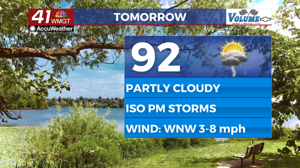
Tomorrow


Thursday will be a partly cloudy and relatively hot day as highs push into the low 90s for most of the region. While actual temperatures will be a couple degrees below average, real feels should push into the upper 90s and low triple digits once again. Wind will be light from the west-northwest around 5 mph.


Rain odds should be pretty low overall during the day, however odds will climb into the late evening and overnight hours. Odds should be isolated overall with about a 3rd of the region seeing rain. Overnight skies will be partly cloudy as lows will again be in the low to mid 70s as wind flows from the west at around 5 mph.
Friday and Beyond


An incoming weak cold front from the north will spur on additional rain chances Friday afternoon and evening. More than half the region should see rain leading into the weekend. Saturday also looks to have decent rain odds with those chances dropping on Sunday. Highs will be in the low 90s for most of the region during this timespan.
Watching the Tropics


Tropical Storm Erin is beginning to take form as it continues to slowly move west over the open Atlantic. It is expected to become a hurricane ahead of the weekend with the possibility to develop into a major hurricane (at least Category 3 on the Saffir-Simpson Scale) over the course of the weekend.

Follow Chief Meteorologist Aaron Lowery on Facebook (Aaron Lowery 41NBC) and Twitter (@ALowWX) for weather updates throughout the day. Also, you can watch his forecasts Monday through Friday on 41NBC News at 4, 5, 5:30, 6, and 11 p.m.