Multiple rounds of storms possible Thursday
MACON, Georgia (41NBC/WMGT) – The rainy pattern of the week continues Thursday with storms possible through much of the day.
This Evening


A partly cloudy afternoon will see more clouds arrive through the late evening and overnight. Isolated storms will be possible, however the rain odds this evening and tonight are a lot lower than the past couple of nights. Lows will be in the mid to upper 60s with the warmest spots in the lowest 70s. Wind will be light and variable, and fog will be a possibility ahead of Thursday morning.
Tomorrow


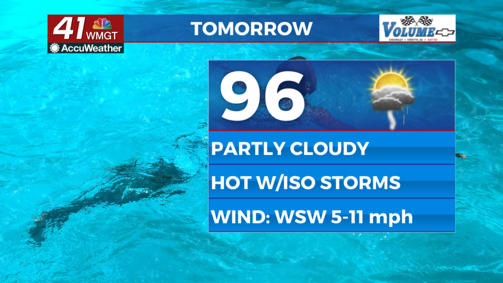
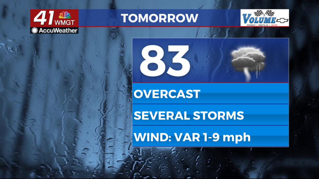
Thursday will be overcast and could feature many rounds of storms starting around lunchtime. A stray shower early in the day can’t be ruled out either. Highs will reach the low to mid 80s with heat indexes likely reaching the upper 80s and lower 90s. Wind will be light and variable.


Severe weather isn’t expected overall, however a Level 1 “Marginal” threat includes the entirety of Middle Georgia. The strongest storms could see a damaging gust or hail. Flash flooding will also be a concern for areas that have seen a lot of rain over the past few days.


Overnight storms will continue around Middle Georgia before subsiding by sunrise Friday. Expect Lows in the mid to upper 60s accompanied by light winds from the southwest. Fog will be possible ahead of sunrise once again.
Friday and Beyond


An incoming cold front will bring another round of storms to Middle Georgia through the first part of the day on Friday. Skies will work to clear over the later parts of the day. More pleasant conditions are expected this weekend following the passage of the cold front Friday. Rain odds will be significantly lower as the calendar flips from May to June.

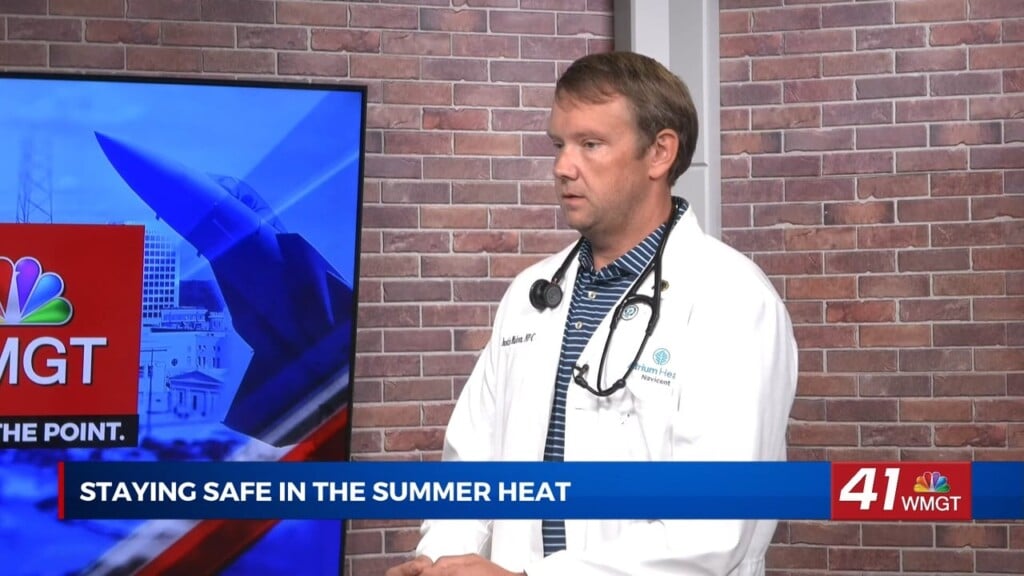
Follow Chief Meteorologist Aaron Lowery on Facebook (Aaron Lowery 41NBC) and Twitter (@ALowWX) for weather updates throughout the day. Also, you can watch his forecasts Monday through Friday on 41NBC News at 4, 5, 5:30, 6, and 11 p.m.