Wind begins to increase Friday as Subtropical Storm Josephine moves away from the New England coast.
MACON, Georgia (41NBC/WMGT) – The wind will increase to end the week around the southeastern US as a cold front associated with Subtropical Storm Josephine pushes south.
This Evening


A sunny and warm afternoon will become a clear and cool night as temperatures are likely to valley in the mid 40s around Middle Georgia. Dew points have risen since yesterday; this is likely due to a bit of moisture seeping south from Josephine as it spins off the New England coastline. The wind will remain calm through tonight as it flows from the northeast around 5 mph. There is a chance for some patchy fog during the sunrise hours Friday.
Tomorrow


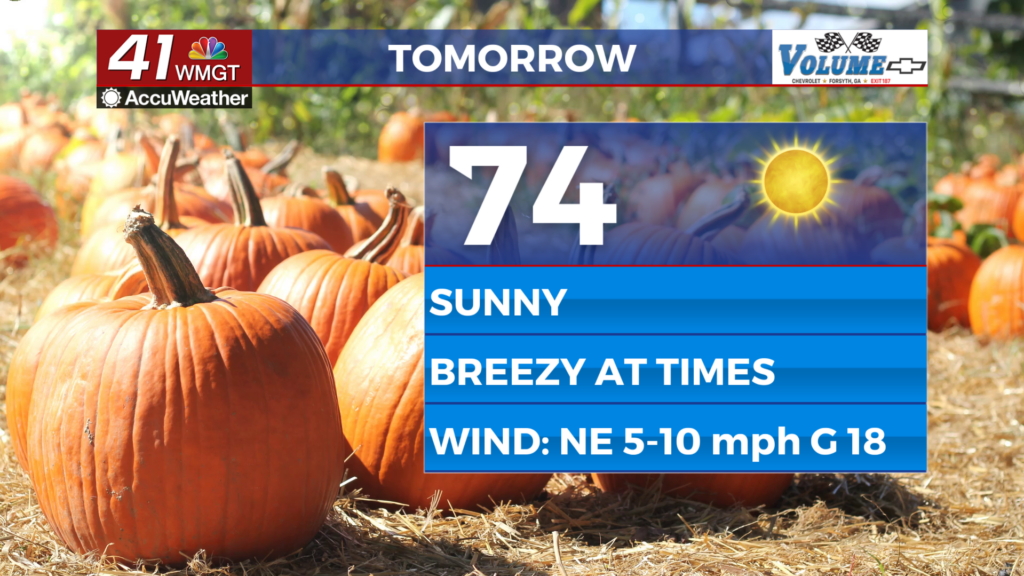
It will be another sunny day across Middle Georgia with afternoon temperatures only climbing into the low to mid 70s, or down close to 5 degrees from Wednesday/Thursday. The wind will pick up to around 5-10 mph throughout the afternoon with gusts likely falling in the 15-20 mph range.


Overnight will be clear and cool with temperatures likely to dip back into the low to mid 40s ahead of Saturday morning. The wind will continue from the northeast at around 4-8 mph. A bit of patchy fog could again be possible during the sunrise on Saturday.
This Weekend


Things will remain sunny across Middle Georgia with temperatures likely to top off in the lower 70s on Saturday and low to mid 70s on Sunday. While both days will see their fair share of wind peak activity is expected Sunday afternoon/evening. Gusts could reach as high as 30 mph during that window. Expect seasonal conditions overall to persist into a good chunk of next week. Rain odds are still expected to be negligible throughout the next week.

Follow Chief Meteorologist Aaron Lowery on Facebook (Aaron Lowery 41NBC) and X (@ALowWX) for weather updates throughout the day. Also, you can watch his forecasts Monday through Friday on 41NBC News at 4, 5, 5:30, 6, and 11 p.m.