

Widespread storms likely Thursday afternoon and evening
MACON, Georgia (41NBC/WMGT) – An incoming cold front will bring several rounds of storms to Middle Georgia through the end of the week.
This Evening
It’s been a cooler than expected day thanks to a cloudy morning however storm odds have not come to fruition as expected. Still, showers and a few storms do remain possible this evening and into early tonight. Temperatures will largely drop into the lower 70s by Thursday morning as the wind flows from the south around 5 mph. If a decent amount of showers/storms occur this evening the odds for fog will be higher into Thursday morning as well.
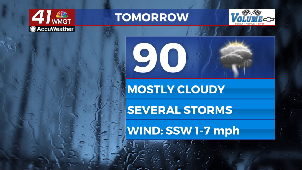
Tomorrow
The rain gear will be necessary for Middle Georgians tomorrow as showers and storms are likely to begin around lunchtime. Expect the most widespread activity through the late afternoon and early evening. The most intense storms could bring wind gusts from 40-60 mph as well as small hail, however at this time no parts of Middle Georgia have been highlighted for a severe risk. Aside from rain expect high temperatures in the upper 80s and lower 90s accompanied by light wind from the south-southwest.


Overnight will be mostly cloudy with a few showers or a storm or two sticking around early. Temperatures will drop into the lower 70s accompanied by light and variable winds.
Friday and Beyond
With the aforementioned cold front slowing down and becoming stationary Friday another round of showers and storms is likely throughout the afternoon and evening. Even Saturday could see around half of Middle Georgia seeing another round of showers and storms. Once the rain odds do back off expect things to heat up a bit into next week. There is the potential for another heat wave early on in September, however at this time model guidance is not fully in agreement on it.
Watching the Tropics
There is now one area to monitor in the Atlantic Basin and it is the system that has slowly been moving west from the coast of Africa. It is now down to 70% odds to become a depression within the next 48 hours as well as the next 7 days. The next name on the list is Dolly.

Follow Chief Meteorologist Aaron Lowery on Facebook (Aaron Lowery 41NBC) and X (@ALowWX) for weather updates throughout the day. Also, you can watch his forecasts Monday through Friday on 41NBC News at 4, 5, 5:30, 6, and 11 p.m.