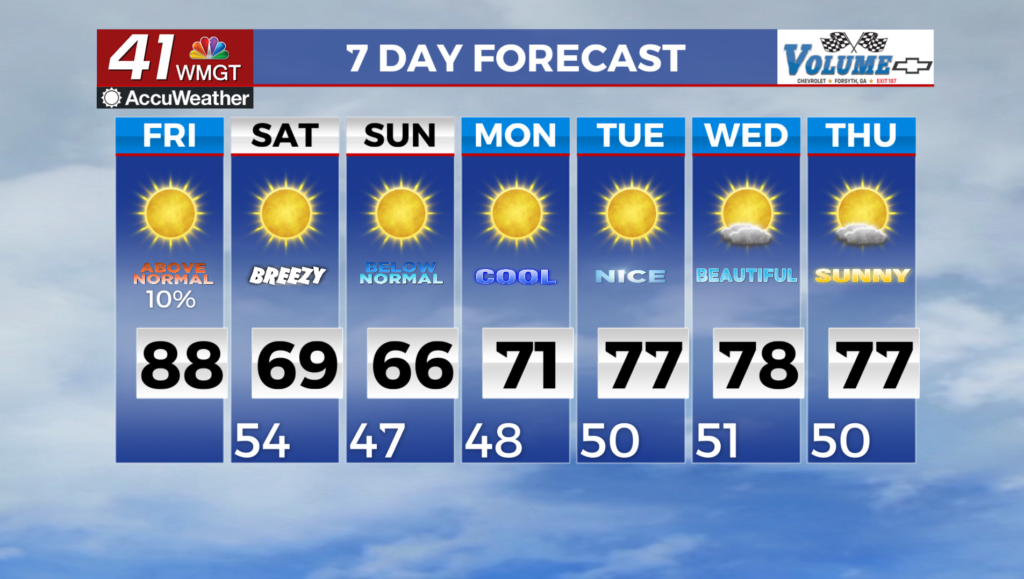

Storm chances remain elevated as a stationary front camps out over Georgia
MACON, Georgia (41NBC/WMGT) – The slow moving cold front from this past weekend has stalled out over Georgia keeping the odds for scattered storms high.
This Evening
Scattered storms are ongoing this afternoon and will continue through the evening. Activity should slow once the sun sets however some rain is absolutely possible through the overnight hours. Temperatures should drop into the lower 70s and fog is likely heading into the start of Tuesday. The wind will be light and variable under mostly cloudy skies.
Tomorrow
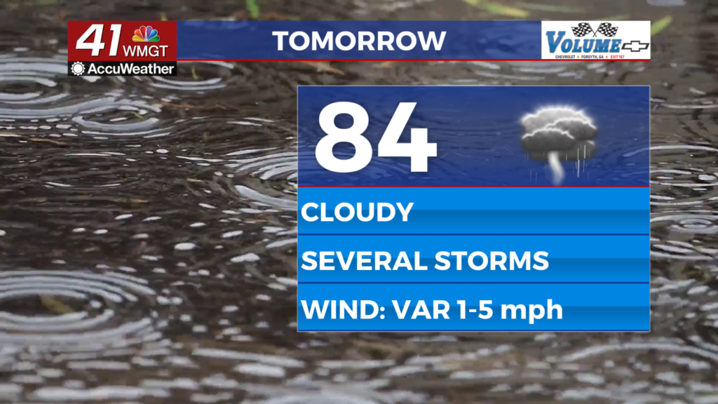
The rain gear will be necessary again Tuesday as showers and storms will be possible throughout the day. While organized severe activity isn’t expected the most intense storms may bring a couple of damaging wind gusts or a bit of hail. Temperatures will peak in the lower 80s under cloudy skies as the wind remains light and variable.


Overnight some showers and storms will likely continue with the possibility of limited activity sticking around into Wednesday morning. Temperatures will valley in the lower 70s as the wind remains calm and variable. More fog is also likely through early Wednesday morning.
Wednesday and Beyond
The stationary front will finally break down some Wednesday leading to a slight reduction in storm odds and the return of a bit of sun. That said conditions will likely still lean mostly cloudy and isolated storms will be possible. Temperatures will be more seasonal over the back half of the week as rain chances remain lower relative to this past weekend and early this week.

Follow Chief Meteorologist Aaron Lowery on Facebook (Aaron Lowery 41NBC) and X (@ALowWX) for weather updates throughout the day. Also, you can watch his forecasts Monday through Friday on 41NBC News at 4, 5, 5:30, 6, and 11 p.m.