
Some relief from the heat is on the way
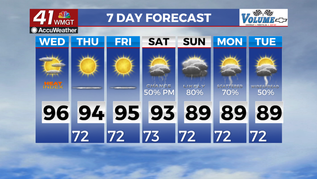
MACON, Georgia (41NBC/WMGT) – People, it’s warm out here. Heat indices are into the triple digits across much of the region. Expect temperatures in the 90s and dewpoints into the 70s. The 


good news is that some relief from the heat is on the way, although it will take a day or two to filter into the area. The other weather story we are monitoring is the convective chances. Models guidance remains more bust than boom. We have a shortwave embedded in a jet streak that is within the northwest flow that is around a large ridge over the Central U.S. The front associated 


with this has fired off some thunderstorms which has been a player for us. These showers/storms are expected to gel into a line of storms that pushes south and eventually southeast, moving into the area. As this line approaches, models become uncertain. Some models completely dissipate the system. Others hold it together briefly then it quickly falls apart. So that being said, the current forecast leans towards a 30 percent chance of seeing something across northern Georgia. Relatively cooler and drier air is expected to begin filtering into northern Georgia by early morning. The diurnal cycle will slow down the progression of the front into the area through the afternoon, so it looks like portions of Middle Georgia will have to wait another day to get relief from the heat. While heat indices should only reach into the 90s across North Georgia on Wednesday they will go soaring once again into the triple digits across portions of Middle Georgia. Heat Advisories will likely be issued.