
Record high temperatures possible Wednesday
MACON, Georgia (41NBC/WMGT) – Temperatures will surge into the upper 80s and lower 90s Wednesday afternoon, possibly setting daily record highs.
This Evening
A sunny and warm afternoon will become a partly cloudy and mild night as some scattered cirrus clouds are expected to move in overnight. The wind will be light and variable and patchy fog will be possible leading into the sunrise Wednesday. Temperatures will valley in the mid to upper 50s.
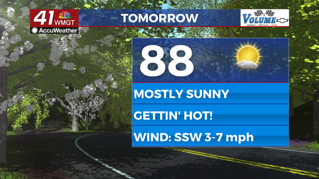
Tomorrow
Wednesday afternoon will be mostly sunny and hot with temperatures largely reaching into the upper 80s but the hottest locations should eclipse 90. Anywhere that reaches 90 will likely set a daily record highs. The wind will still be light out of the southwest throughout the day.


Overnight a few cirrus clouds are again likely overnight but things should be clear outside of that. Overnight lows will be in the upper 50s with the warmest locations possible staying above 60 degrees. Wind will remain light out of the southwest.
Thursday and Beyond
Mostly sunny skies are likely over the back half of the week and into the weekend with more locations creeping into the 90s each passing afternoon. The heat will carry through Saturday before a cold front arrives Sunday, dropping temperatures back below average early next week.

Follow Chief Meteorologist Aaron Lowery on Facebook (Aaron Lowery 41NBC) and X (@ALowWX) for weather updates throughout the day. Also, you can watch his forecasts Monday through Friday on 41NBC News at 4, 5, 5:30, 6, and 11 p.m.