More sun and hazy skies likely to end the week
MACON, Georgia (41NBC/WMGT) – Smoke from Canadian wildfires has reached the Peach State and will linger while conditions remain sunny Friday.
This Evening


Today has been the sunniest day this week around Middle Georgia and it’s also not felt too hot either as real feels have largely remain below 100F. However the downside is that smoke particulate from the Canada wildfires has made it into Georgia, leading to a milky white color in the sky. This has resulted in a slight dip in air quality, so those in vulnerable groups (very young, elderly, asthmatics, etc) should limit their time outdoors. Tonight will likely be the coolest night of the week with temperatures dropping to around 70 degrees. A handful of spots should crack below 70. The wind will be light from the north-northwest. Hazy skies will persist through tonight.
Tomorrow


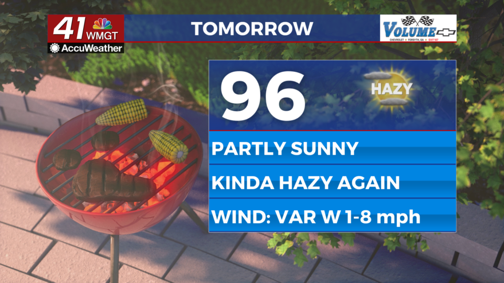
A bit more cloud cover is likely Friday however things should still lean towards the sunny side. More wildfire haze is likely again as temperatures peak in the mid to upper 90s. Heat indexes should again be lower than earlier in the week however a few more spots may creep into the triple digits. A stray shower or storm will be possible in the afternoon and evening, however most of Middle Georgia will see no rain. The wind will flow generally from the west around 5 mph.


Overnight more clouds will begin to arrive however rain odds will remain low. Temperatures will drop into the lower 70s accompanied by light wind from the southwest.
This Weekend and Beyond


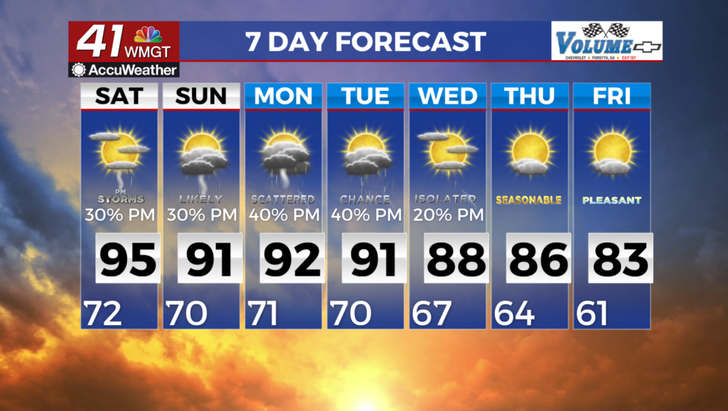
An incoming low pressure system and its associated fronts will bring more rain chances both days this weekend. Saturday will likely see scattered storms in the afternoon and evening after temperatures peak in the low to mid 90s around the region with the arrival of a warm front. Sunday on the other hand may see rain throughout the day as the cold front moves through. Scattered rain odds will again be possible Monday before they drop leading into the middle of next week.

Follow Chief Meteorologist Aaron Lowery on Facebook (Aaron Lowery 41NBC) and X (@ALowWX) for weather updates throughout the day. Also, you can watch his forecasts Monday through Friday on 41NBC News at 4, 5, 5:30, 6, and 11 p.m.