

Lower humidity continues Tuesday as low storm odds return
MACON, Georgia (41NBC/WMGT) – Humidity remains low around Middle Georgia following a cold front late last week, however rain odds will begin to climb again starting tomorrow.
This Evening
A mostly sunny afternoon will become a clear and pleasant night as temperatures drop below 70 degrees around a chunk of Middle Georgia, a bit below average for this time of year. The wind will be light out of the southwest around 5 mph.
Tomorrow
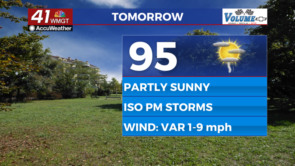
There should be plenty of sunshine again Tuesday as temperatures climb into the mid 90s with heat index values creeping towards 100 degrees. A few showers and a storm or two will be possible over the later parts of the day. The ambient wind will be light and variable around the region.


Overnight will be mostly clear and seasonal with low temperatures largely in the low 70s. The coolest spots may creep into the upper 60s. The wind will be light out of the south.
Wednesday and Beyond
Storm odds will increase further late this week as a new frontal system approaches from the west. This will lead to more cloud cover and below average temperatures in the afternoons. Odds for storms may stay elevated into the coming weekend.
Watching the Tropics
There are two areas of interest in the Atlantic Basin. The one closer to the US East Coast is expected to keep moving north and stay out to sea. It currently has 50% odds to become a tropical depression within the next 7 days as well as within the next 48 hours. The other disturbance is coming off the west coast of Africa. It has 30% odds to become a depression in the next 48 hours and 60% odds within the next 7 days. This one could warrant closer attention if it meanders towards the Caribbean.

Follow Chief Meteorologist Aaron Lowery on Facebook (Aaron Lowery 41NBC) and X (@ALowWX) for weather updates throughout the day. Also, you can watch his forecasts Monday through Friday on 41NBC News at 4, 5, 5:30, 6, and 11 p.m.