


Isolated showers likely to end the work week
MACON, Georgia (41NBC/WMGT) – A slow moving cold front will spur on showers tonight and tomorrow for parts of Middle Georgia.
This Evening
A mostly cloudy day will become an overcast night around the region. A few showers have already begun and will continue through the evening as well. For tonight these should mainly be confined to the northwestern third of the region, however a few showers a bit further south are possible. Low temperatures will be a their warmest this week with valleys expected in the mid to upper 40s. Wind will be light out of the northeast.
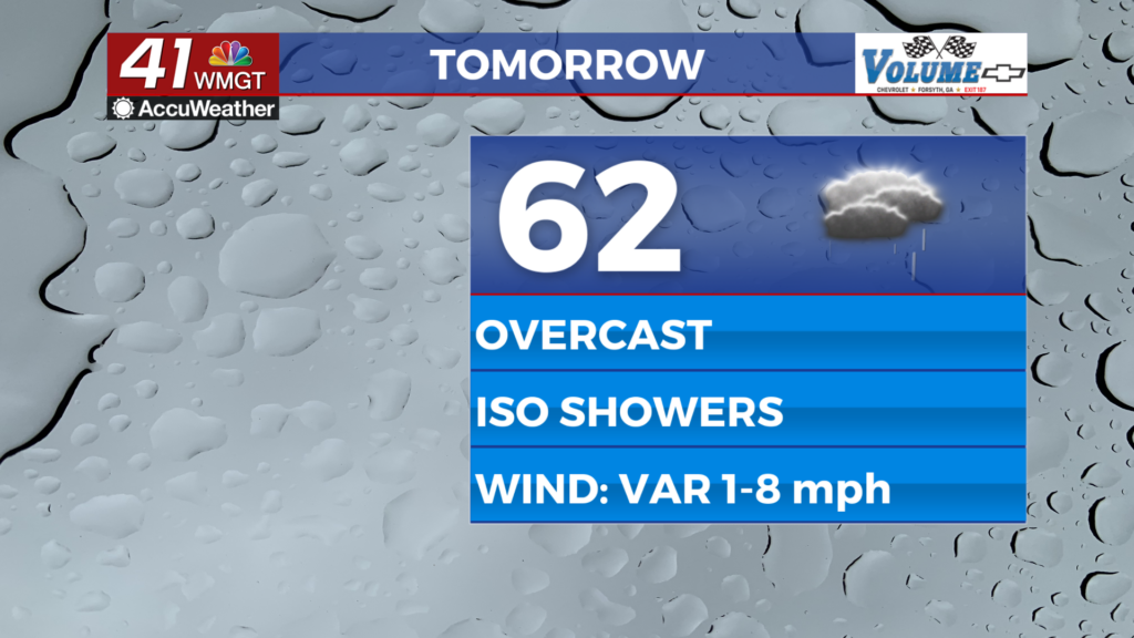
Tomorrow
Another mild and cloudy afternoon is anticipated to end the work week. Temperatures will peak in the low to mid 60s for most of the region, however a couple of 70s cannot be ruled out. The wind will be light and variable throughout the afternoon, eventually returning to the northeast in the evening. A few showers will be possible throughout the day. Any rain seen should be light.
Overnight will stay overcast with low temperatures expected in the low to mid 40s. The wind will flow from the northeast at 5-10 mph with gusts pushing to around 15 mph. A stray shower will remain possible however rain odds will be a bit lower than during the afternoon.
This Weekend
The forecast for this weekend remains a tricky one however trends for Middle Georgia as of the past couple of days have been positive (as in to avoid major ice problems). Temperatures should peak around the 50 degree mark Saturday afternoon with showers becoming increasingly likely over the back half of the day.


Overnight Saturday into Sunday is the concern for freezing rain, particularly in the northeastern counties of the region. Currently Hancock, Baldwin, Washington, Putnam, Jasper, and Jones Counties are included in a Winter Storm Watch until 10 AM Monday morning. These areas likely will not warm up a whole lot Sunday afternoon and evening, however temperatures should have should get above freezing.


The southern parts of Middle Georgia are currently forecast to be in the warm sector of this system, meaning temperatures should warm into the 50s and maybe (though unlikely) lower 60s. Sunday evening ahead of a cold front. Said front will bring rain (and possibly a couple of rumbles of thunder as well) to the region and be followed by frigid air that drops temperatures below freezing Monday morning. This could lead to some black ice during Monday commutes. Middle Georgians should be prepared to take it extra slow to start the new work week as well as drip faucets with the cold air sticking around.

Follow Chief Meteorologist Aaron Lowery on Facebook (Aaron Lowery 41NBC) and X (@ALowWX) for weather updates throughout the day. Also, you can watch his forecasts Monday through Friday on 41NBC News at 4, 5, 5:30, 6, and 11 p.m.