

Hot conditions continue Wednesday with a couple of storms possible.
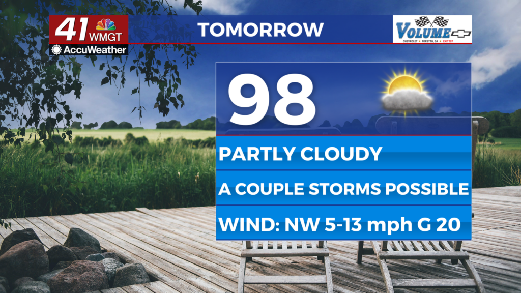
MACON, Georgia (41NBC/WMGT) – Temperatures will reach the mid to upper 90s again Wednesday however an incoming cold front may bring a few storms in the afternoon and evening.
This Evening
A hot and partly sunny afternoon will become a mostly clear and rather warm night with many low temperatures only dropping into the upper 70s. The warmest spots may not drop below 80! The wind will become light from the west at 5-10 mph. Fog is possible although unlikely. Skies will be mostly clear and the night will be illuminated by the Full Thunder Moon, the full moon for the month of July.
Tomorrow
Wednesday may not be as hot as Tuesday however real feels will still push close to 105 for much of the region with actual highs reaching the mid to upper 90s. A cold front coming from the north may spur on a couple of storms in the afternoon and evening. The rain odds will be lowest in the northern counties, and the further south the front is come the afternoon the lower the rain chances around Middle Georgia will be. Ambient wind will flow from the northwest at 5-12 mph with gusts reaching as high as 20 mph.


Overnight will be mostly clear and should be cooler with low temperatures likely in the lower 70s. The coolest spots may have a chance to crack into the upper 60s. The wind will be light from the northwest. Rain is not expected overnight.
Thursday and Beyond
Temperatures will remain hot over the back half of the week however the humidity should be lower resulting in the afternoons being a bit less oppressive. A few spots may see low temperatures getting into the upper 60s before the humidity returns heading into the weekend. That will come with increased rain odds as well.

Follow Chief Meteorologist Aaron Lowery on Facebook (Aaron Lowery 41NBC) and X (@ALowWX) for weather updates throughout the day. Also, you can watch his forecasts Monday through Friday on 41NBC News at 4, 5, 5:30, 6, and 11 p.m.