
Even lower rain odds Thursday before another front ramps them up again into the weekend
MACON, Georgia (41NBC/WMGT) – Thursday will see the lowest rain odds for the week before they climb again heading into the weekend thanks to a slow moving cold front approaching from the north.
This Evening
It’s another partly cloudy afternoon and again cooler than expected for many locations around the region. Scattered showers and a few storms will be possible through the late afternoon and evening hours before the odds drop off heading into tonight. The wind will flow from the southwest at 5-10 mph overnight with gusts reaching to around 15 mph. Skies overhead should be partly cloudy. Fog is unlikely although possible in areas that get rain late this evening.
Tomorrow
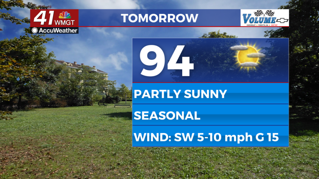
Thursday should be the nicest day of the week as partly sunny skies are anticipated with highs pushing the mid 90s. Heat indexes should largely reach to around 100 degrees. This is thanks to Bertha’s influence leaving the Peach State. The wind will continue from the southwest around 5-10 mph with gusts to around 17 mph.


Overnight a couple of showers or perhaps a storm will be possible early, however the night should overall be quiet. The wind will be light from the west-southwest under partly cloudy skies. Expect more clouds to fill in leading into Friday morning.
Friday and Beyond
The aforementioned cold front will slow and stall out heading into the weekend, becoming another stationary front draped across Middle Georgia by Saturday. This will lead to increased rain odds beginning Friday afternoon with the chances peaking Saturday afternoon. A heat wave looks to take over across Georgia once this front breaks down early next week, so enjoy the cooler temperatures while they are here!

Follow Chief Meteorologist Aaron Lowery on Facebook (Aaron Lowery 41NBC) and X (@ALowWX) for weather updates throughout the day. Also, you can watch his forecasts Monday through Friday on 41NBC News at 4, 5, 5:30, 6, and 11 p.m.