Cloudy skies return for Groundhog Day in Georgia
MACON, Georgia (41NBC/WMGT) – An abundance of cloud cover made its way into the Peach State overnight and into this morning.
Today
Today is Groundhog Day, and it began with a blanket of clouds over much of Georgia. If you know anything about Groundhog Day in Georgia then you are likely aware of General Beauregard Lee, the Groundhog in Jackson, GA. He did not see his shadow this morning thanks to the cloudy conditions, meaning that he is predicting an early spring. Gen. Lee has an accuracy rate of approximately 60%, which is a lot higher than Punxsutawney Phil’s up in Pennsylvania (his is about 35%).


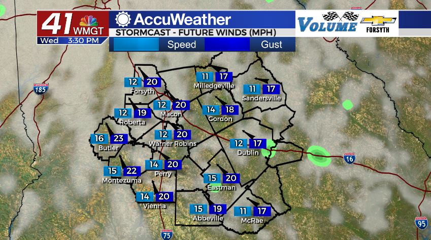
As for todays forecast, the cloudy skies will not be going anywhere, however we will see plenty of warmth. Winds from the southeast at 10-15 mph with gusts over 20 mph will continue to transport warm and moist air into the Peach State. This should warm our high temperatures into the upper 60s and low 70s later this afternoon. There will also be a few opportunities for stray showers later today, but the majority of us in Middle Georgia will stay dry.


Overnight the skies will remain cloudy and the wind will continue to blow out of the southeast, however the speed will slow a bit. The warm winds and thick insulating blanket of clouds will keep things warm all night as temperatures only fall into the mid to upper 50s. A few stray showers will also be possible overnight, but much like today, most of the region will stay dry.
Tomorrow


Our Thursday looks to be a repeat of today with the exception of the fact that it will be warmer and it will not be Groundhog Day. The cloudy skies will remain with a few shower opportunities in the afternoon. Those chances will increase further during the later afternoon and evening hours as shower activity becomes more widespread. Highs around Middle Georgia will climb into the upper 70s and potentially the lower 80s. The wind will pick back up in the morning to 10-15 mph with gusts again over 20 mph, but this time it will be from the south-southeast.


Overnight those winds will shift to the south-southwest at speeds of 15-20 mph. Gusts could reach almost 30 mph at this time as rain chances increase greatly with a cold front arriving shortly after midnight. Thunderstorms and heavy rain will be likely as the cold front pushes through, but after that it will likely just be periods of heavy rain. Low temperatures will fall into the lower 60s heading into Friday morning.
Friday and the Weekend


Periods of heavy rain are likely throughout the day on Friday, even after the cold front has passed. The highs for Friday will be in the upper 60s wind winds blowing in from the north-northwest at about 10-15 mph with gusts over 20 mph. These winds will be dry and cold, working to slowly clear out the mess heading into the weekend. They will be unsuccessful on Friday, however; rain will be possible into the overnight hours as cloud cover continues to blanket the Peach State. Overnight temperatures will fall into the upper 30s, but that is nowhere near cold enough for winter weather.

Saturday will see the possibility for scattered showers around Middle Georgia as highs climb into the mid to upper 50s. Cloud cover will still not clear out even after those showers have stopped; carrying into the overnight hours and towards Sunday morning. Showers will also still be possible overnight into Sunday as well, though there should only be a few of them.
The southeastern counties of Middle Georgia could still see shower activity into Sunday morning. Sunday is when we will finally see the stubborn blanket of clouds begin to break, but it looks as though they will take their sweet time to clear out, sticking around through the night to some degree and even into early Monday. Monday will finally see the return of mostly sunny skies.

Follow Meteorologist Aaron Lowery on Facebook (Aaron Lowery 41NBC) and Twitter (@ALowWX) for weather updates throughout the day. Also, you can watch his forecasts Monday through Friday on 41NBC News at Daybreak (6-7 a.m.) and 41Today (11 a.m).


Leave a Reply