Another stormy weekend on deck to close out May
MACON, Georgia (41NBC/WMGT) – A cold front sagging south will gradually cool temperatures and bring plenty of rain this weekend.
This Evening
Scattered storms fired up this afternoon and activity will continue through the evening and into tonight. Flash flooding will be a concern with areas that have already seen plenty of rain this week. The most intense storms may also bring some hail or a few damaging wind gusts. Frequent cloud to ground lightning is likely. Temperatures will bottom out around 70 degrees rolling into Saturday morning. A few showers may linger overnight and fog is likely leading into the sunrise tomorrow. The wind will be light out of the southwest.
Tomorrow
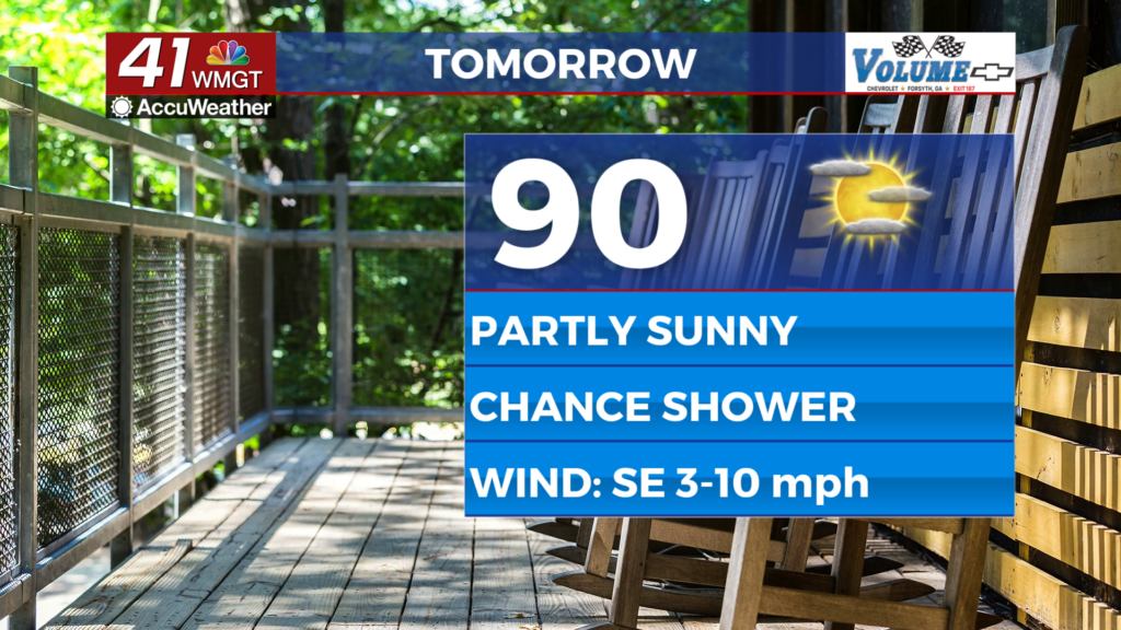
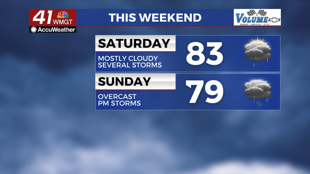
The first half of the weekend is expected to be mostly cloudy with temperatures largely peaking in the lower 80s. A few showers may be ongoing during the morning hours before storms fire up leading into lunchtime. Expect several rounds of storms throughout the day on Saturday. The wind will be light out of the west-northwest around 5 mph. As mentioned above any storms could bring frequent lightning, some hail, or a few damaging wind gusts. Flash flooding will also be possible within the region.


Overnight some storms may linger early before tapering off leading into Sunday morning. The 2nd full moon for the month of May will be in the sky Saturday night however overcast skies will make it difficult to see. It is a Blue Moon as it is the 2nd full moon to occur in a calendar month. Temperatures will again valley around 70 degrees across Middle Georgia. The wind will be light out of the east-northeast. Fog will again be possible leading into the sunrise on Sunday.
Sunday and Beyond
Sunday is likely to be overcast with several rounds of storms expected over the back half of the day. Temperatures will be the coolest they’ve been in weeks with highs expected in the upper 70s and lower 80s around the region. The wind will be light from the east.

More sunshine is expected to return beginning Monday with rain odds tapering off heading into the middle of the new week. The humidity should also drop some thanks to the eventual passing of the aforementioned cold front.

Follow Chief Meteorologist Aaron Lowery on Facebook (Aaron Lowery 41NBC) and X (@ALowWX) for weather updates throughout the day. Also, you can watch his forecasts Monday through Friday on 41NBC News at 4, 5, 5:30, 6, and 11 p.m.