Another round of scattered storms likely Wednesday
MACON, Georgia (41NBC/WMGT) – Scattered storms are likely again Wednesday as the stationary front begins to break down.
This Evening


Scattered showers and a few thunderstorms are ongoing this afternoon and more storms are likely through the evening hours. While the number of storms will decline after sunset like last night some rain will persist along with the occasional rumble of thunder. Temperatures will valley in the low to mid 70s as the wind remains light and variable. More fog is likely heading into the start of Wednesday with some locations possibly seeing dense fog.
Tomorrow


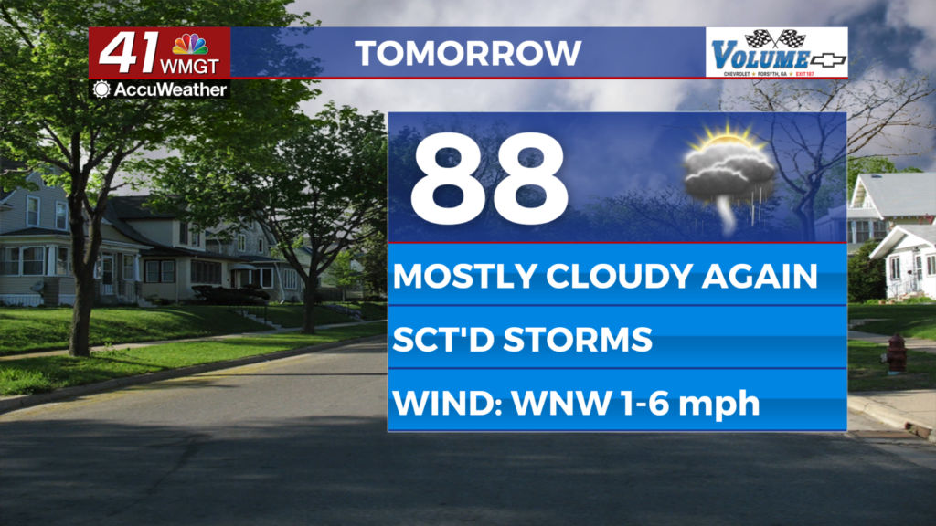
Wednesday should be slightly warmer than M0nday and Tuesday were as temperatures largely return to the upper 80s. Conditions will still be mostly cloudy however and scattered storms are likely over the back half of the day. More than half of Middle Georgia should see rain, however the number of storms should be less than Monday and Tuesday. The wind will be light from the west-northwest around 5 mph.


Rain should taper off heading into the overnight hours with possibly one or two showers lingering. Temperatures will again reach their valleys in the low to mid 70s with more fog possible as well. The wind will remain light but out of the west-southwest around 5 mph.
Thursday and Beyond


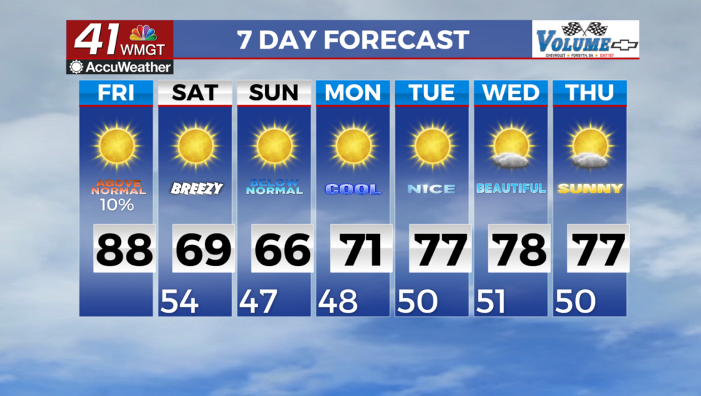
More sunshine is likely to end the work week however cloud cover will fill in a decent amount during the afternoon both Thursday and Friday. The odds for storms will be more isolated in nature with around 1/3 of the region seeing storms each of the last two days of the work week. Expect a pretty typical July pattern for the coming weekend.

Follow Chief Meteorologist Aaron Lowery on Facebook (Aaron Lowery 41NBC) and X (@ALowWX) for weather updates throughout the day. Also, you can watch his forecasts Monday through Friday on 41NBC News at 4, 5, 5:30, 6, and 11 p.m.