September begins on a hot note
MACON, Georgia (41NBC/WMGT) – A new warming trend is likely around Middle Georgia for the first few days of September.
This Evening
A partly sunny afternoon will give way to a clear night across Middle Georgia. A stray shower or two is possible this evening but rain is not a main concern. Temperatures will drop into the lower 70s with real feels closer to the mid 70s by Tuesday morning. The wind will be light out of the southeast around 5 mph.
Tomorrow
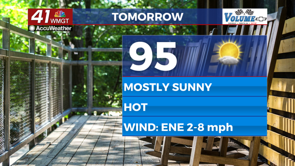
The first day of September is expected to be partly to mostly sunny with high temperatures into the mid 90s for much of the region. Heat index values will push 100 degrees with a handful of locations eclipsing it. The wind will be light out of the east-northeast throughout the afternoon. A stray shower or storm is possible however the odds are rather low.


Overnight will be mostly clear and above average again with temperatures only dropping into the low to mid 70s. Heat index values will still be over 75 in a few spots by Wednesday morning. The ambient wind will be light out of the south-southeast.
Wednesday and Beyond
Temperatures will continue to warm into the later parts of the week with some storms possible on Thursday. Better rain odds look possible over the back half of the weekend and into Labor Day next Monday.
Watching the Tropics
Tropical Depression Five has developed in the northern Gulf of America and will likely become Tropical Storm Edouard late this evening or early tomorrow. A landfall is expected around or just east of the Houston area in Texas so this system is not a big concern for Georgia however the outer rain bands could bring some storms to parts of Middle Georgia on Thursday.

Follow Chief Meteorologist Aaron Lowery on Facebook (Aaron Lowery 41NBC) and X (@ALowWX) for weather updates throughout the day. Also, you can watch his forecasts Monday through Friday on 41NBC News at 4, 5, 5:30, 6, and 11 p.m.