

All of Middle Georgia to be under a Heat Advisory Tuesday
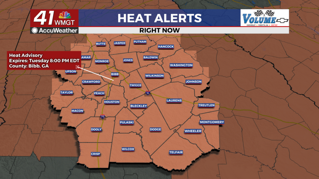
MACON, Georgia (41NBC/WMGT) – Temperatures will push into the upper 90s and low triple digits with some heat indexes pushing 110 in the afternoon.
This Evening
Clouds from the morning are gradually clearing out through the afternoon as rain odds should stay low this evening. A stray shower or storm does remain possible. It will be a hot night with temperatures likely to only drop into the mid 70s for much of the region. The wind will be light from the west-northwest around 5 mph. Cloud cover overhead should be limited through the overnight hours.
Tomorrow
Tuesday will likely be the hottest afternoon of the week and is expected to be mostly sunny for most of the region. Temperatures will push 100 degrees around the region with heat indexes largely eclipsing 105. As a result of this potential all of Middle Georgia is under a Heat Advisory until 8 PM EDT Tuesday evening. While rain is unlikely a couple of stray showers or a storm will be possible. The wind will flow from the west at 5-10 mph with gusts reaching around 15 mph.


Overnight will be mostly clear with temperatures dropping into the low to mid 70s. The wind will come from the west-southwest around 5-10 mph.
Wednesday and Beyond
More cloud cover is possible Wednesday especially over the latter half of the day. A cold front approaching from the north should bring scattered showers and storms to Middle Georgia for much of the back half of the day. Rain odds will drop again come Thursday following the frontal passage. The front is not expected to drop temperatures as mid to upper 90s remain likely through the end of the work week.

Follow Chief Meteorologist Aaron Lowery on Facebook (Aaron Lowery 41NBC) and X (@ALowWX) for weather updates throughout the day. Also, you can watch his forecasts Monday through Friday on 41NBC News at 4, 5, 5:30, 6, and 11 p.m.