A drop in humidity should provide slight heat relief for the next couple of days
MACON, Georgia (41NBC/WMGT) – A cold front that pushed through Middle Georgia overnight and early today will drop the humidity for the last couple of days this work week.
This Evening
After a cloudy start to the day things are getting sunnier through the afternoon. While a couple of storm odds were possible the odds for rain continue to drop this evening. It has been hot again, especially for the southern half of the region where heat indexes have soared past 110F. Wind from the northwest at 5-12 mph will help to bring in some drier air heading into tonight, however the direction of the wind is likely to become variable leading into tomorrow morning. Temperatures should drop to near if not below average in the lower 70s. A couple of spots may crack into the upper 60s.
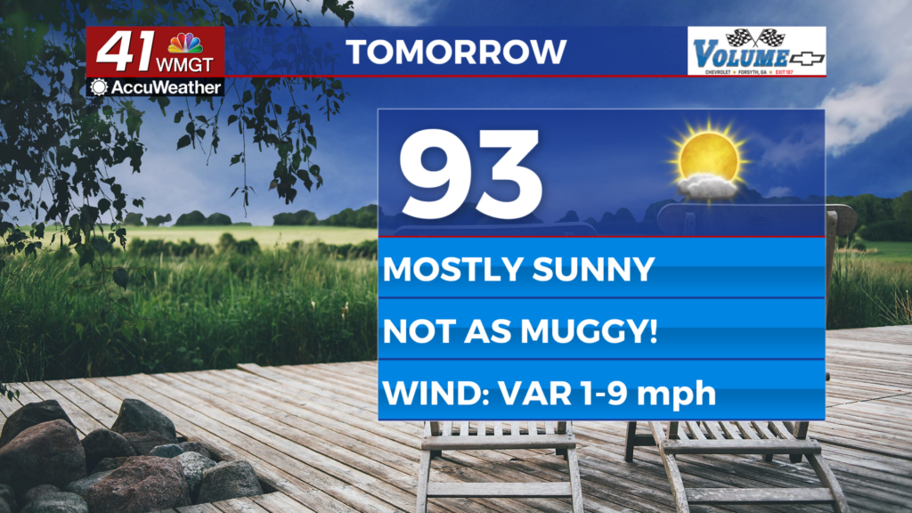
Tomorrow
A mostly sunny day is likely Thursday with temperatures peaking in the lower 90s for most of the region. Earlier in the week that would have translated to heat indexes north of 105, however with the drop in humidity those real feels should largely remain below 100 in the afternoon. A stray shower or storm will be possible over the latter half of the day. The wind is expected to be light and variable.


Overnight will be mostly clear with temperatures dropping to around 70 degrees. A light wind from the northwest is likely. The lower humidity should also make it difficult for fog to form, however some may develop in low lying areas.
Friday and Beyond
Friday should be partly sunny and pretty hot with temperatures again reaching the low to mid 90s with heat indexes into the upper 90s and possibly lower triple digits. The wind will flow from the west, becoming more southerly in the evening hours. This will allow moisture flow to return ahead of the weekend.

Expect a cloudy and wet weekend with another low pressure system and its associated fronts moving through Georgia Saturday and Sunday. Both days look to have widespread rain chances and temperatures should largely stay below 90 in the afternoons. The cloudier pattern will continue into early next week.

Follow Chief Meteorologist Aaron Lowery on Facebook (Aaron Lowery 41NBC) and X (@ALowWX) for weather updates throughout the day. Also, you can watch his forecasts Monday through Friday on 41NBC News at 4, 5, 5:30, 6, and 11 p.m.