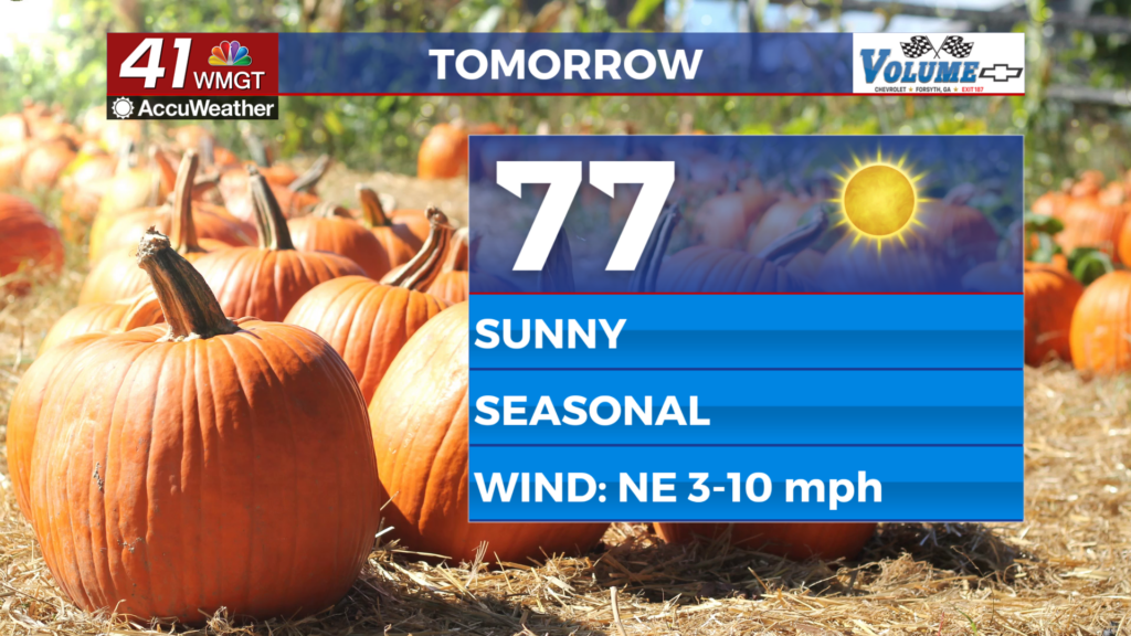

A beautiful stretch of Fall weather ahead
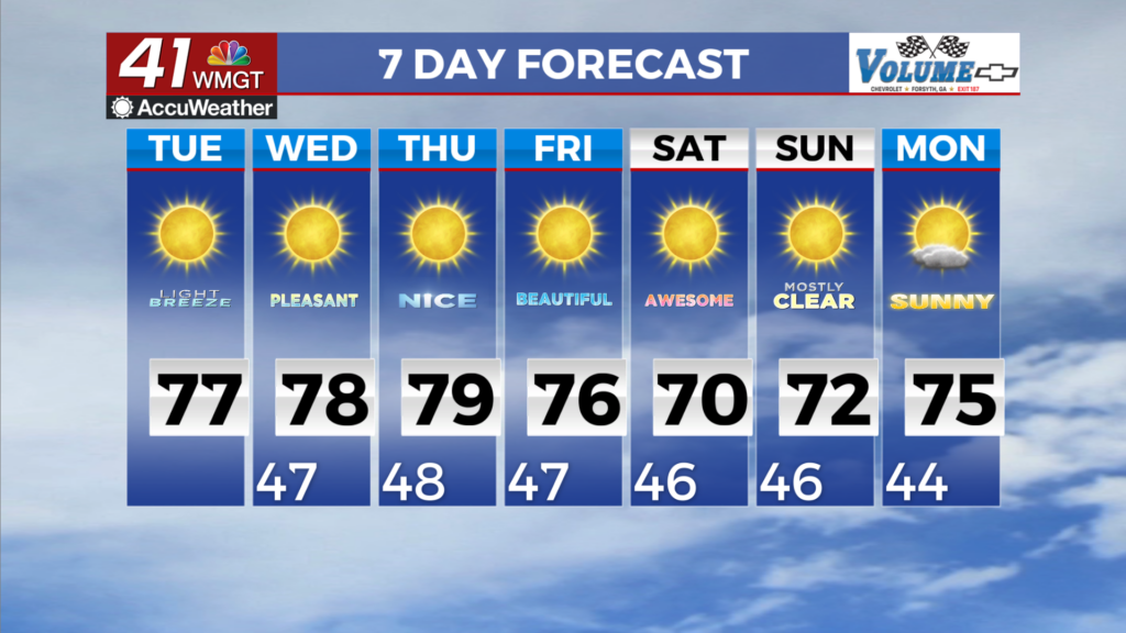
MACON, Georgia (41NBC/WMGT) – A Fire Danger Statement is in effect for portions of North and Middle Georgia through 8 PM this evening. Autumn, it would appear, is here to stay for awhile. 


High pressure over the Southeast is expected to spin in place through the rest of the work week and into the weekend. There is no sign of precipitation in any of the models and that is not doing us any favors when it comes to the drought monitor going forward. As the days grow shorter and the leaves drop, please be mindful of the combination of dry fuels and low relative humidity as we 


are entering our Fall Fire Season. Temperatures during the daytime will climb into the low to mid 70s across most of the coverage area with winds out of the east-north-east. Gusty conditions 
are expected to return this weekend with sustained winds around 10 to 15 mph gusting up to 20 mph. This is due to a reinforcing shot of cool, dry air from the north. Overnight lows are expected to fall into the mid to low 40s for the remainder of the week, making the mornings feel especially crisp.