


More scattered storms likely Wednesday afternoon
MACON, Georgia (41NBC/WMGT) – Widespread scattered storms are likely around Middle Georgia for a 3rd straight afternoon.
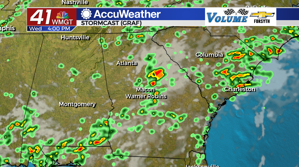
Today
Another typical summer afternoon awaits Middle Georgia as partly cloudy skies and highs in the upper 80s and lower 90s stick around once again. Ambient winds will continue to feed out of the west at about 5 mph. Storms will likely begin to fire up around the region between 1-3 PM with the most widespread activity likely from about 3-6 PM. The SPC has issued a Level 1 “Marginal” risk for severe storms as a few could have some strong wind gusts or small hail. Flash flooding will also be a concern with larger storms due to the already saturated ground conditions.


Overnight a few showers may linger early, however rain is not expected to last into Thursday morning. Partly cloudy skies will hang overhead with low temperatures largely in the lower 70s. Ambient winds will be light and variable.
Tomorrow and Beyond
Storm chances look to drop off a decent bit heading into Thursday afternoon. This will lead to hotter temperatures with highs climbing back into the mid 90s with real feels in the triple digits. A few isolated storms will still be possible over the back half of the day, however.
Storm chances will climb a bit Friday and over the weekend when compared to Thursday afternoon, however they should be a bit reduced from the first days this week. Hot and muggy conditions will stick around for the foreseeable future along with partly cloudy skies each afternoon.

Follow Meteorologist Aaron Lowery on Facebook (Aaron Lowery 41NBC) and Twitter (@ALowWX) for weather updates throughout the day. Also, you can watch his forecasts Monday through Friday on 41NBC News at Daybreak (5-7 a.m.) and 41Today (11 a.m).

