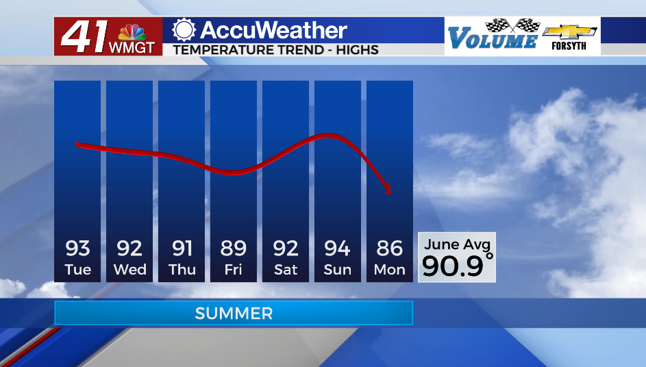
Temperatures staying hot into first full week of June
MACON, Georgia (41NBC/WMGT) – High temperatures will climb into the 90s beginning Tuesday afternoon.
Tonight
Conditions over Middle Georgia tonight will be mostly clear and calm. Ambient wind will come from the southwest at about 5 mph. Views of the Full Strawberry Moon will be quite easy for most of the region. One or two small showers cannot be ruled out overnight. Temperatures will bottom out in the mid 60s.
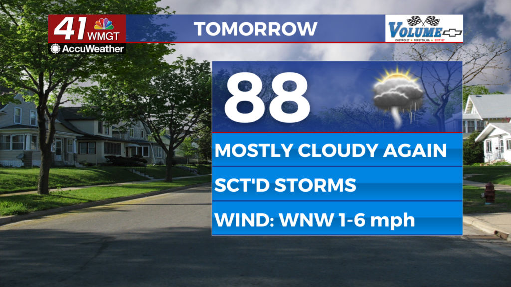
Tomorrow
Skies will be mostly sunny early on before cloud fields develop in the afternoon. A few isolated thunderstorms are likely as temperatures rise into the lower 90s. Winds will largely come from the west at about 6-12 mph which should take the edge off the heat a bit. Any storm activity will also cool things briefly, however expect sticky conditions once the rain stops.


A couple of small showers or storms could linger into the overnight hours. Winds will blow from the west-southwest at about 4-12 mph. Temperatures will drop into the upper 60s under limited cloud cover.
Wednesday and Beyond
A weak cold front will begin to approach Georgia from the north during the middle of the week. It will not be here yet on Wednesday however outflows from it could instigate a few small storms in the region. Highs will reach into the lower 90s both Wednesday and Thursday. Thursday is when the cold front should arrive, bringing with it slightly more organized storm activity. While tornadic activity is not anticipated, storms could have relatively intense winds as well as small hail. Temperatures Friday afternoon will return to the upper 80s and lower 90s following Thursday’s cold front.

Follow Meteorologist Aaron Lowery on Facebook (Aaron Lowery 41NBC) and Twitter (@ALowWX) for weather updates throughout the day. Also, you can watch his forecasts Monday through Friday on 41NBC News at Daybreak (5-7 a.m.) and 41Today (11 a.m).