
Murky Thursday ahead for Middle Georgia
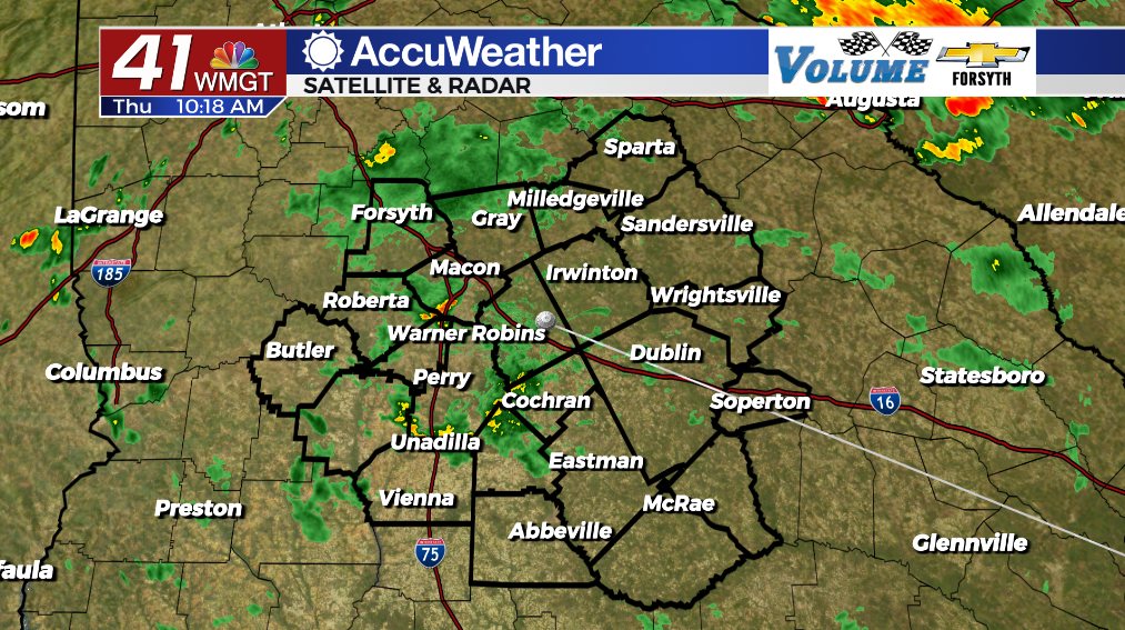
MACON, Georgia (41NBC/WMGT) – Overcast skies with off and on showers (and a couple of thunderstorms) will stick with Middle Georgia today.


The coolest day of the week has arrived in Middle Georgia, and it will also be the gloomiest. What much of the Peach State is seeing today is actually what cities like Seattle see all the time: cold air damming. High pressure is currently situated over the New England region of the US. The clockwise flow of the wind around it results in the wind over the Carolinas (and just off the coast) to be coming in from the east. This moist air, however, gets stuck when it hits the eastern side of the Appalachian Mountains, and is forced to condense. This results in a layer of clouds that will hang with the area (along with off and on rain as excess moisture gets squeezed out) through today and into tomorrow.


All of the added cloud cover will lead to temperatures topping off in the 70s across Middle Georgia today. Wind will be rather gusty out of the east-northeast, especially this evening. Sustained speeds should range from 5-15 mph, however gusts could reach as high as 25 mph. Thunderstorms will be most likely in the evening while showers will be possible throughout the day.


Tonight it will remain overcast and very muggy as temperatures drop into the lower 60s across the region. A few showers will be possible through the overnight hours and into tomorrow morning. Winds overnight will blow out of the northeast at 7-12 mph before attempting to slow ahead of Friday morning. Gusts, however, could still reach 15 mph out the door tomorrow, so fog should be difficult to come by. Sunshine should return some late Friday afternoon/evening.

Follow Meteorologist Aaron Lowery on Facebook (Aaron Lowery 41NBC) and Twitter (@ALowWX) for weather updates throughout the day. Also, you can watch his forecasts Monday through Friday on 41NBC News at Daybreak (5-7 a.m.) and 41Today (11 a.m).


