Hotter conditions take over Tuesday
MACON, Georgia (41NBC/WMGT) – Middle Georgia will see the sunshine return Tuesday afternoon as temperatures rise into the 80s.
Today


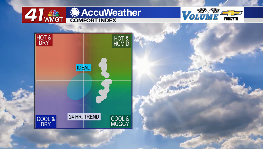
A cloudy and foggy morning will give way to a mostly sunny afternoon later today. High temperatures will reach into the low to mid 80s with heat indexes firmly into the mid 80s. Winds will be rather gentle from the south throughout the day (5-10 mph). UV indexes around the region will range from 9.5 to 10, so sunscreen will be necessary for any folk who wish to enjoy the hotter weather. It will be a rather humid afternoon, however, as dew points hang in the lower 60s. Expect most afternoons this week to be on the muggy side. Due to the hot and muggy conditions a pop-up thunderstorm or two cannot be ruled out.


Tonight skies will be clear early before clouds return ahead of Wednesday morning. Overnight winds will blow from the south-southeast at around 5 mph. Temperatures and dew points will both be in the lower 60s ahead of Wednesday morning, however with the lack of afternoon rainfall fog should be limited to just patches around Middle Georgia to begin Wednesday morning.
Tomorrow


Plenty of cirrus clouds will accompany Middle Georgia throughout the day Wednesday. They will do nothing to stop temperatures from soaring into the upper 80s (and a couple of lower 90s) and potentially breaking some record highs around the region. Heat indexes will be in the lower 90s for most of the region. Winds will be a little stronger out of the south to south-southwest at 5-12 mph. Gusts could reach as high as 20 mph. A pop-up storm or two will be possible in the afternoon, otherwise Middle Georgia should stay dry (although it will be rather humid outside).


Mostly cloudy conditions are expected tomorrow night as a cold front begins to approach the Peach State from the northwest. Low temperatures and dew points will both be in the mid 60s heading into Thursday morning. Winds will be variable at about 5-10 mph, so fog will be harder to come by. An isolated shower or two will be possible overnight as well.
Thursday and Beyond


Thursday will also see highs in the mid 80s with a mix of sun and clouds. Some scattered showers and small thunderstorms will be possible in the afternoon and evening. The SPC has not highlighted a risk for severe weather and likely will not due to the low pressure system driving the cold front weakening considerably and being up in Canada. That same front will bring more widespread storm activity on Friday with highs in the 70s instead, however at this time the SPC says the potential for severe weather is too low (likely for the same reasons as for Thursday). Unfortunately this front is going to stall out, and so while temperatures will drop into the 50s by Saturday, rain will remain possible through Easter as dry air will not be able to replace the humid airmass in place.

Follow Meteorologist Aaron Lowery on Facebook (Aaron Lowery 41NBC) and Twitter (@ALowWX) for weather updates throughout the day. Also, you can watch his forecasts Monday through Friday on 41NBC News at Daybreak (5-7 a.m.) and 41Today (11 a.m).


