Temperatures continue to warm Tuesday
MACON, Georgia (41NBC/WMGT) – Temperatures will continue to warm around Middle Georgia as sunny skies stick around.
Today
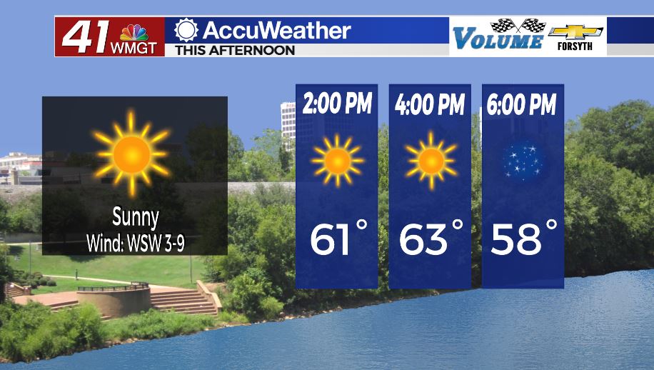
Sunny skies will be with Middle Georgia all day, however a couple of passing clouds will be possible. Highs will largely be in the mid 60s across the region. Winds will blow from the west-southwest at 5-10 mph to begin the return flow process leading up to our next storm chance. Return flow is winds that return heat and humidity to the atmosphere following a cold front. For Middle Georgia those will usually come from the southwest.


Tonight skies will remain mostly clear, however a couple of cirrus clouds are likely to pass through. A bit of patchy fog will also be possible during the early hours of Wednesday. It will still be a cold night as lows drop into the upper 30s and lower 40s. Winds will blow from the southwest at about 5 mph.
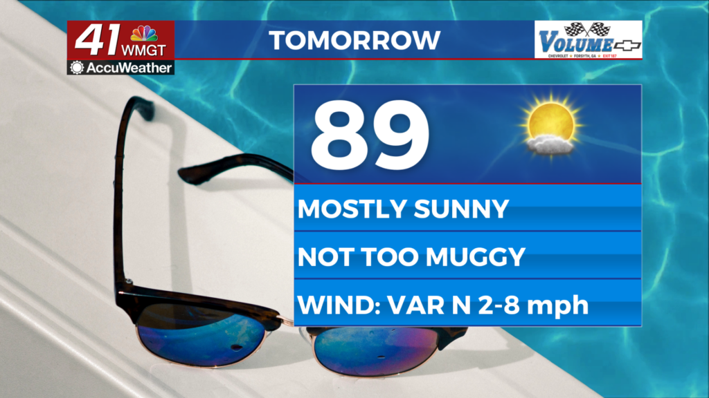
Tomorrow
Cloud cover will begin to move into Middle Georgia from the west pretty early in the day, however it will largely be scattered. We will not see thicker clouds begin to roll in until late in the evening. Winds will also pickup throughout the day as they blow from the south-southwest at 5-10 mph. Gusts will be pushing 20 mph by the evening hours. Temperatures will also be rather warm as they climb into the upper 60s with a few lower 70s.


Tomorrow night will see mostly cloudy conditions with the possibility for a couple of isolated small showers. It will be warm and muggy as low temperatures only drop into the mid 50s across Middle Georgia. Winds will blow from the south-southwest at 5-12 mph with gusts pushing closer to 25 mph. Due to the increased wind speed fog will be less likely heading into Thursday morning.
Thursday – Severe Weather Day
Thursday does not look pretty at the moment for Middle Georgia. The western half of the region is already under a Level 2 “Slight” risk for severe weather in the afternoon and evening. Given that we are 2 1/2 days out from Thursday still the possibility for part of the region to be under a Level 3 “Enhanced Risk” by the time we get there is on the table. There are a number of concerning ingredients leading into Thursday afternoon.
First off, temperatures will be plenty warm. Highs are forecast to reach the mid 70s for most of Middle Georgia. And while there will be mostly cloudy skies, the issue is just that: mostly cloudy. With a few spots allowing some sun to get through extra instability may be added to the atmosphere to kickoff more violent storms. Finally, surface winds from the south and south-southwest will have plenty of velocity – sustained speeds of 10-20 mph and gusts pushing upwards of 30-35. Given the proximity of the jet stream aloft (winds from the west-southwest) and the powerful surface winds to provide storm inflow (south/south-southwest), there will be a healthy amount of shear to generate some rotation. Some high resolution models are already hinting at this possibility in parts of Western Georgia. The threat for these independent storms will largely be in the late afternoon hours.
The cold front will move through Thursday evening, bringing a squall line of thunderstorms with it. While an embedded spin-up tornado will be possible with the line, the tornado threat in the afternoon will be much greater due to the possibility for discrete supercells. The primary threats with the line will be strong straight-line winds and some small hail.
Beyond
Following Thursday’s storms the sun will return on Friday with highs dropping back into the 50s and lows down to or below freezing.

Follow Meteorologist Aaron Lowery on Facebook (Aaron Lowery 41NBC) and Twitter (@ALowWX) for weather updates throughout the day. Also, you can watch his forecasts Monday through Friday on 41NBC News at Daybreak (6-7 a.m.) and 41Today (11 a.m).