Gloomy weather begins the first full week of December
MACON, Georgia (41NBC/WMGT) – Cloudy and muggy conditions along with some showers will hang around Middle Georgia the next couple of days.
Today


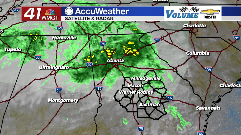
We had plenty of clouds and humidity around Middle Georgia this morning, however there was very little rain. It was rather warm – many spots were in the mid to upper 50s to kick things off – and some areas even had some patchy fog. As the morning hours have gone on we have still seen little rain in Middle Georgia. The northeastern counties have seen the most so far, and they likely will see the most throughout the day. The northern half of Middle Georgia in general will see more rain today than the southern half. The rain will be light to moderate, and thunderstorm activity is not anticipated.


Outside of the rain today things will be cloudy and warm across the region. While a couple of northern locations may only reach into the upper 50s, the southern locations of the region will be pushing close to the 70 degree mark. This, of course, is a result of less rain expected in those areas. Winds today will blow variably out of the east at about 5 mph.


Tonight the overcast skies as well as shower chances will hang around. It will be rather warm and muggy with lows around the region dropping into the upper 50s and lower 60s. Ambient winds will blow from the east-southeast at around 5 mph. Patchy fog will be likely in many spots around Middle Georgia leading into Tuesday.
Tomorrow


Expect more of the same for our Tuesday for the most part, however it will likely be bit warmer tomorrow. Highs are anticipated to reach the low to mid 70s around the region with much of the shower activity expected during the first half of the day. Temperatures will jump not because of the return of any sun tomorrow – skies will remain mostly cloudy all day – but because of 5-10 mph winds blowing from the south-southeast. We may see a few pockets of sunshine here or there, but cloud cover will dominate into the evening and beyond.


Tomorrow night will again be warm and muggy as mostly cloudy conditions stick around. Lows will be in the upper 50s and lower 60s with southerly winds blowing in at around 5 mph. Patchy fog will once again be possible in some spots across the region, especially in low lying areas and around bodies of water.
Wednesday and Beyond


We will begin to at least see some sunshine return to Middle Georgia by Wednesday. High pressure off the coast of Florida will stall a cold front to the north, turning it into a stationary front. Most of the rain associated with that will be kept north in Tennessee and northern Alabama/Georgia, however some showers and cloud cover associated with it will reach into Middle Georgia. The return of some sun, however, will push our highs for both Wednesday and Thursday into the upper 70s and maybe even some low 80s.
Slightly cooler conditions will return over the weekend, however we will still be warmer than usual for this time of year. The European model is hinting at a large storm system that may move through Sunday. While it’s way too early to talk a severe potential with it, it does look like on the other side of that system we will see more seasonable temperatures.

Follow Meteorologist Aaron Lowery on Facebook (Aaron Lowery 41NBC) and Twitter (@ALowWX) for weather updates throughout the day. Also, you can watch his forecasts Monday through Friday on 41NBC News at Daybreak (6-7 a.m.) and 41Today (11 a.m).