Scattered storms likely this weekend as the current pattern continues
MACON, Georgia (41NBC/WMGT) – Seasonal temperatures and afternoon/evening storms will continue this weekend.
This Evening


A partly cloudy afternoon will become a partly cloudy night with a few storms likely around the region this evening. Storm odds should be lower than yesterday evening however upwards of a third of Middle Georgia could see rain. Temperatures will drop into the lower 70s accompanied by light wind from the southeast. Locations that receive rain this evening may see some fog early Saturday morning.
Tomorrow


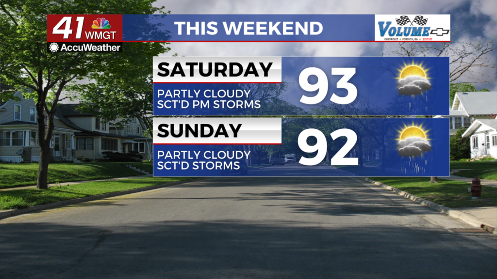
Another partly cloudy and seasonal day is likely with temperatures mainly reaching the lower 90s for the highs. Heat indexes should push into the upper 90s and low triple digits. Around half of Middle Georgia if not slightly more should see rain over the back half of the day in the form of scattered showers and thunderstorms. Severe activity should be limited to a couple of damaging wind gusts with the most intense storms. Ambient wind will flow from the east-southeast around 5 mph.


Overnight a handful of clouds will linger with temperatures dropping to around average in the low to mid 70s. The wind will be light out of the south-southeast.
Sunday and Beyond


Sunday will be similar to Saturday although the window for storms may begin slightly earlier. Temperatures will peak in the low to mid 90s with overnight lows in the lower 70s. A gradual increase is likely with both the high and low temperatures throughout next week. Between 1/3 and 1/2 of Middle Georgia will likely see storms each afternoon.

Follow Chief Meteorologist Aaron Lowery on Facebook (Aaron Lowery 41NBC) and X (@ALowWX) for weather updates throughout the day. Also, you can watch his forecasts Monday through Friday on 41NBC News at 4, 5, 5:30, 6, and 11 p.m.