Rain to return to Middle Georgia tonight
MACON, Georgia ( 41NBC/WMGT) – A cold front arriving tonight will bring some thunderstorms to Middle Georgia.
Today


Clear skies greeted Middle Georgia to begin our Tuesday, and they should stick with us into the lunchtime hours. Clouds will begin to move in from the west as we roll through the afternoon with thin upper-level clouds arriving before the thicker mid-level clouds. Temperatures will peak in the lower 80s across the region this afternoon. Ambient winds will be rather breezy from the south-southeast with sustained speeds of 6-13 mph and gusts upwards of 20 mph. Rain is not anticipated during the daylight hours, however we could see an isolated shower during the sunset.


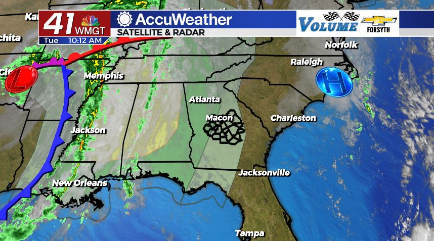
Rain chances will begin to climb more as we go through tonight. The late evening hours could see a few isolated showers around Middle Georgia as cloud cover thickens further. The cold front will arrive sometime around midnight, bringing a line of thunderstorms with it. While these storms will not be very strong when they arrive (and are forecast to weaken as they move through Middle Georgia), there is a Level 1 “Marginal” severe risk for a small part of the region. Monroe, Crawford, Taylor, and Macon counties are included in the Level 1 risk zone. The primary threat for severe weather tonight is a couple of strong wind gusts. Rain totals around most of Middle Georgia will stay under .1″.


Winds around Middle Georgia overnight will continue to be rather strong from the south (sustained speeds 7-14 mph, gusts up to 25 mph) until the cold front movers through. Once the front passes the skies will begin to clear as the wind shifts to the west. The southeastern part of Middle Georgia will likely begin Wednesday on a cloudy note, however the northwestern counties should be able to see the sunrise. Lows will be in the upper 50s and lower 60s with the warmer temperatures hanging around the southeastern counties.
Tomorrow


A few clouds will still hang around the southeastern counties of Middle Georgia to begin our Wednesday, however all clouds will be gone ahead of lunchtime. The wind will shift to the northwest early, blowing in at 7-13 mph with gusts up to 20 mph. High temperatures will be about 5-10 degrees cooler around the region than on Tuesday afternoon as they peak in the mid 70s.


Skies will remain clear overnight as the wind continues to blow from the northwest, however at a much calmer speed. Sustained speeds will back off to 5-10 mph by tomorrow night as low temperatures drop down into the mid 40s.
The Rest of the Week

Sunny conditions will stick with Middle Georgia into Thursday as temperatures stay in the upper 70s. The wind will shift to the northeast during the afternoon hours on Thursday. They will stay out of the northeast until Saturday when they begin to shift southward. Cloud cover will begin to return Friday afternoon ahead of the next storm system. Rain will likely return to the forecast Saturday night with better rain chances returning Sunday and potentially on Halloween.

Follow Meteorologist Aaron Lowery on Facebook (Aaron Lowery 41NBC) and Twitter (@ALowWX) for weather updates throughout the day. Also, you can watch his forecasts Monday through Friday on 41NBC News at Daybreak (6-7 a.m.) and 41Today (11 a.m).