More sun expected Wednesday afternoon
MACON, Georgia (41NBC/WMGT) – A mix of sun and clouds will continue to populate the Middle Georgia sky on Wednesday.
Today


A layer of cloud cover moved into Middle Georgia this morning following a relatively clear night. Those early clouds made for some spectacular sunrises this morning, but now they are giving the later morning hours a gloomier vibe. We will see them break a bit later this afternoon as high temperatures reach the upper 80s and lower 90s around the region. Heat indices will range from the lower 90s into the upper 90s.


Storm chances for today are rather slim, similar to yesterday. One or two stray storms somewhere in the region is likely, however we shouldn’t see anything more than that. Our ambient winds will mainly blow in from the northwest at about 5 mph, but a stray storm could have stronger gusts.


We could see a few more showers develop in the northern part of the region during the early overnight hours, however they won’t last long past midnight. Partly cloudy skies will hang around through the overnight hours as lows drop into the upper 60s and lower 70s. Ambient winds will blow out of the north-northwest at about 5 mph.
Tomorrow


A sunny start should greet Middle Georgians Thursday morning, and partly cloudy conditions carrying over from the night should make for some pretty sunrises. The sunny conditions will not last long, however, as cloud cover will begin to thicken leading up to lunchtime. This will keep high temperatures cooler around the region as they only reach the mid 80s. Ambient winds will feed out of the east-northeast at about 5 mph.


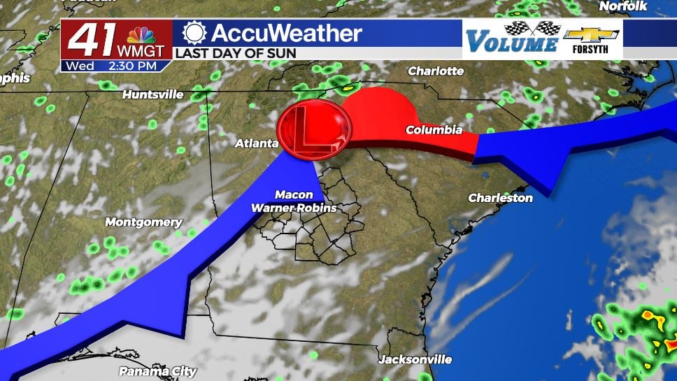
Unlike Wednesday, however, clearing of clouds is unlikely in the afternoon. The cold front coming in will become stationary, keeping cloud cover overhead and elevating rain chances. A number of scattered storms are likely to develop around the region beginning during the late lunchtime hours. These will bring about .25″-.75″ to most locations that see them, however locally heavier amounts will be possible. Storms may also bring some strong wind gusts. They will likely last throughout much of the afternoon and evening before slowing heading into the overnight hours.


The rain, however, will not stop overnight. More showers are likely to persist here and there around Middle Georgia. Some spots may wake up to light to moderate rainfall to begin Friday morning. Lows will be a bit warmer as a result of added cloud cover and humidity overnight and should remain above the 70 degree mark across the board. Rain totals heading into Friday morning will likely be more than an inch in most locations.
Soppy End to the Week


A low pressure system developing in the Gulf of Mexico will begin to push north on Friday. While it isn’t a powerful system (tropical depression, storm, etc), it will bring with it plenty of moisture. The rain coming in on Friday will be widespread and moderate to heavy throughout much of the day. There likely will not be a whole lot of wind, however, or much thunder and lightning. This will still make for hazardous conditions on roadways, and flash flooding will be a concern for low lying areas or areas that see extended periods of heavy rain.


The rain will likely continue into Friday night before slowing a bit Saturday morning, however more rounds of storms are likely Saturday afternoon and evening that will bring even more rain to an already saturated region. Rain totals by midnight Friday will likely be over an inch in most Middle Georgia locations with several spots over 1.5″.
Tropics


Both active hurricanes (Earl and Danielle) pose no threat to the United States. Invest 95-L has formed over the east Atlantic, however, and is continuing to slowly organize. It has a 50% chance to become a tropical depression within 48 hours and a 60% chance in 5 days.

Follow Meteorologist Aaron Lowery on Facebook (Aaron Lowery 41NBC) and Twitter (@ALowWX) for weather updates throughout the day. Also, you can watch his forecasts Monday through Friday on 41NBC News at Daybreak (6-7 a.m.) and 41Today (11 a.m).