Scattered thunderstorms likely Friday afternoon
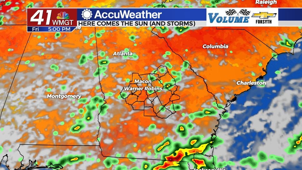
MACON, Georgia (41NBC/WMGT) – The return of some sunshine will provide fuel for scattered thunderstorms around Middle Georgia this afternoon.
Today

It was a cloudy morning once again around Middle Georgia, however we did not wake up to widespread rain this time. The northern counties in the region saw some sun for the first time this week as it rose this morning. A bit of sun will stick with us this afternoon, allowing temperatures to begin to bounce back after yesterday’s cold and wet weather. Highs this afternoon are in the mid to upper 80s around Middle Georgia with heat indices reaching into the lower 90s.

Storm activity is likely to begin during the afternoon hours and continue into the evening before tapering off. Storms can bring heavy rain, frequent lightning, moderate to strong wind gusts, and some small hail. Severe weather, however, is not anticipated this afternoon.


A couple of storms may linger into the overnight hours, however by midnight the last of them should be fading out. Mostly cloudy conditions will continue to hang overhead leading up to Saturday morning. Lows will be in the lower 70s across the board and ambient winds will blow from variable directions at about 5 mph.
The Weekend


Saturday will see partly cloudy to mostly cloudy skies in the afternoon with a handful of isolated storms. Southeastern counties have the highest probability of storms during the afternoon and evening. Highs will reach into the upper 80s and lower 90s with heat indices in the low to mid 90s. Overnight conditions will also be partly cloudy with little chance for rain.

Sunday will see mostly sunny to partly cloudy conditions with a couple of stray storms possible in the afternoon. Highs will reach the lower 90s for most of the region as heat indices inch towards the triple digit mark in the warmest spots. Overnight conditions will again be partly cloudy with low level clouds filling in during the early hours of Monday.
The Tropics


It has been a quiet hurricane season so far and that should remain the case over the weekend. The National Hurricane Center is still watching a pair of storm clusters in the Atlantic. The first one is moving to the west south of Puerto Rico and is unlikely to develop into anything while doing so. It will approach the Yucatan and Gulf of Mexico sometime next week at which point it could see more favorable conditions to develop. The second one is a tropical wave off of the western coast of Africa with a bit of organization to it, however it’s current environment is not conducive for development. Both clusters have a 20% chance to develop in the next 5 days.

Follow Meteorologist Aaron Lowery on Facebook (Aaron Lowery 41NBC) and Twitter (@ALowWX) for weather updates throughout the day. Also, you can watch his forecasts Monday through Friday on 41NBC News at Daybreak (6-7 a.m.) and 41Today (11 a.m).