One more day of sun before clouds and rain return
MACON, Georgia (41NBC/WMGT) – Sunny skies will continue to dominate Middle Georgia this afternoon.
Today


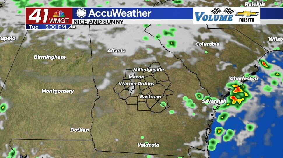
Skies around Middle Georgia were clear heading into the sunrise hours, but a number of low level clouds filled in as temperatures reached their low point. We will continue to see those clouds clear out as we approach lunchtime, and mostly sunny skies will take over from there. Highs this afternoon are primarily in the lower 90s around Middle Georgia with heat indices reaching into the mid 90s. There will not be much cloud cover to shelter from the sun and heat later, and the clouds that are present will mainly be upper level cirrus clouds. Those often let a decent amount of sunlight through, so sunblock is necessary for anyone wanting to spend the afternoon outside.

Another reason today is a great one to get outside is because of the low rain chances. We may see one or two stray storms in the region this afternoon and evening, and that is it. Additionally more cloud cover will be making its way in tomorrow morning, bringing gloomy conditions with it. Those who wish to enjoy the sun should do so today.


Skies will be mostly clear for the first half of tonight, and rain is not expected. We could begin to see some cloud cover ahead of the sunrise tomorrow, however the models are in disagreement on time of arrival, meaning we could also see a pretty sunrise. Lows will be in the upper 60s and lower 70s around the region.
Tomorrow


Whether or not the day begins with cloud cover or a pretty sunrise, we will see plenty of clouds. As mentioned above, models are not entirely in agreement on when the clouds will pile in, just that we will see a whole bunch of them by the end of tomorrow. More than likely we will see them begin to fill in more during the middle of the day. Highs for tomorrow are currently forecast to be in the mid to upper 80s, however the earlier the clouds arrive, the cooler it will be in the afternoon.


Storm chances for tomorrow will be higher than today, but for the afternoon it will likely just be a few sporadic showers. We will begin to see the storm chances climb more following the sunset tomorrow evening.


Tomorrow night will be a cloudy one and a wet one for a good portion of Middle Georgia. Storms will begin to move in more as we push past midnight, with widespread rain likely taking over the majority of the region as we head into the sunrise hours of Thursday. Get your rain gear ready, you will need it out the door for work and school Thursday morning. Low temperatures tomorrow night into Thursday morning will be in the lower 70s and upper 60s.
Thursday and Beyond


Thursday will be a wet day for most if not all of Middle Georgia as heavy rain moves through, especially during the first half of the day. Some scattered storms will be possible during the afternoon and evening, and some may persist into the overnight hours. High temperatures could range from the upper 70s into the mid 80s, but most of the region will likely be in the lower 80s.
This pattern will continue through Friday and into Saturday before clearing up a bit. Storms will still be possible Sunday and into the start of next week, however the rain will likely not be as widespread, allow temperatures to climb back up a bit.

The tropics are also overall still quiet right now, however the NHC has identified a cluster of storms they are watching in the Gulf of Mexico to the southeast of the Yucatán Peninsula. It has a 0% chance of imminent formation (within the next two days), however there is a 20% chance for development once it crosses to the northwest side of the peninsula within the next 5 days.

Follow Meteorologist Aaron Lowery on Facebook (Aaron Lowery 41NBC) and Twitter (@ALowWX) for weather updates throughout the day. Also, you can watch his forecasts Monday through Friday on 41NBC News at Daybreak (6-7 a.m.) and 41Today (11 a.m).


