Fun in the sun continues to begin the new week.
MACON, Georgia (41NBC/WMGT) – Conditions in Middle Georgia are remaining dry and pleasant behind last week’s cold front.
Today


It was a pleasant morning to begin our Monday around Middle Georgia. Temperatures were in the upper 60s and lower 70s with dew points in the mid 60s, making for a drier morning. There were a few high level clouds moving in from the north as well. Those will cover our sky throughout the day today, however they will allow plenty of sun to get through. As a result we will warm up nicely into the lower 90s across the region. Feels like temperatures will be in the upper 90s across Middle Georgia later this afternoon.


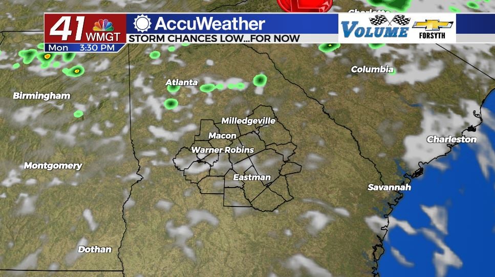
Storm chances for today are overall low, however a weak low pressure system off to the northeast could cause a few storms to make their way in from the north this evening and into tonight. Storm activity should be pretty isolated with most of the region likely not seeing any rain today or tonight.


Overnight we could see a couple of storms, especially ahead of midnight. Once midnight passes, however, we should see the storm activity taper off and much of the cloud cover clear out. The humidity will be a bit higher tomorrow morning along with our low temperatures which will be in the lower 70s. A couple of areas could wake up to a bit of fog during the sunrise hours.
Tomorrow


Tuesday is anticipated to be the nicest day that we have this week. Sunshine will be abundant through the afternoon with cloud cover remaining isolated at most. One or two stray storms will be possible in the evening, however the vast majority of Middle Georgia will see no rain. Highs will be in the lower 90s across the board once again as well.


Overnight skies will basically be clear around the region with only a few cirrus clouds passing overhead. Rain activity is not expected during the overnight hours tomorrow into Wednesday. Lows will be in the upper 60s and lower 70s around Middle Georgia, drying out a bit when compared to Monday night/Tuesday morning.
Wednesday and Beyond


Wednesday should also be pleasant overall, however our cloud cover looks to increase greatly during the back half of the day. Highs will be in the lower 90s around the region with a couple of isolated storms likely during the afternoon and evening hours. Cloud cover will increase further heading into Wednesday night, and more storms are likely during the early overnight hours.

Storm chances will ramp up greatly beginning Thursday and will remain high during the afternoon and evening hours the rest of the week and into the weekend. Forecast highs are dropping into the mid 80s during this timespan with lows in the upper 60s, however humidity will be much higher as a result of the widespread rainfall.

As for the tropics, the NHC is watching one cluster of storms in the Atlantic Basin. At this time they have designated it to have a 0% chance for development over the next 5 days, meaning it is a non-threat.

Follow Meteorologist Aaron Lowery on Facebook (Aaron Lowery 41NBC) and Twitter (@ALowWX) for weather updates throughout the day. Also, you can watch his forecasts Monday through Friday on 41NBC News at Daybreak (6-7 a.m.) and 41Today (11 a.m).


