Storm chances climbing ahead of the weekend
MACON, Georgia (41NBC/WMGT) – The number of scattered storms we will see in the afternoon and evening is climbing ahead of the weekend.
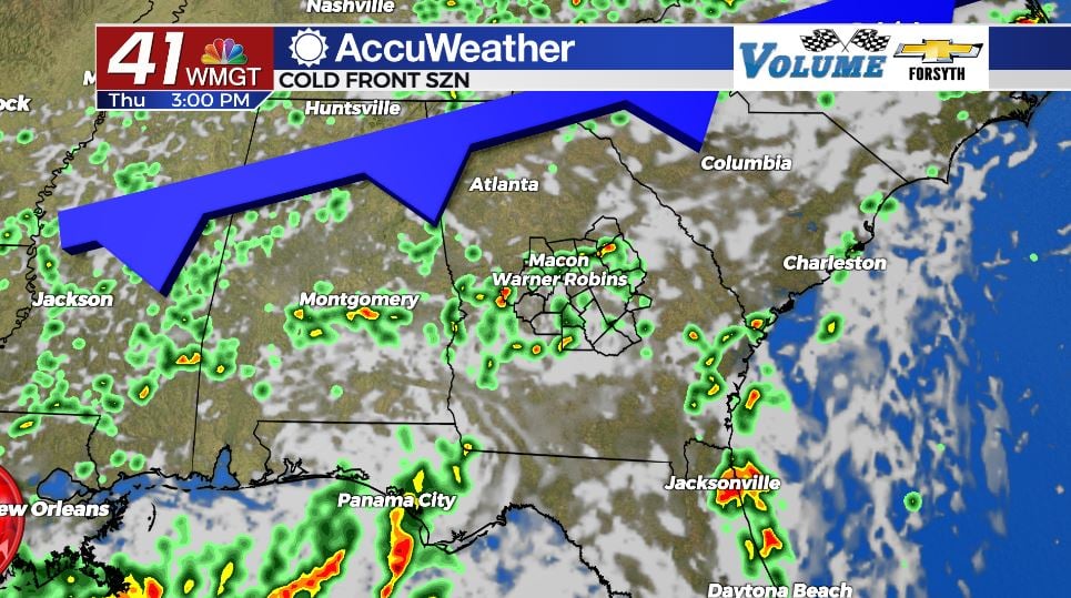
Today


Much like yesterday we will see plenty of clouds over Middle Georgia for most of the afternoon. A few pockets of sunshine are likely, but the overall cloudier conditions are helping us to stay cooler. Highs around the region are in the mid to upper 80s today with heat indices climbing into the lower 90s. Ambient winds are still blowing from the southwest, however they have a bit more speed now at 5-10 mph.


When it comes to our storm chances, we are finally seeing them climb for not just the evening but the afternoon as well. A weak warm front associated with a weak low pressure over Louisiana is fueling our storm chances for today. We will likely see them begin as a few isolated showers during the lunchtime hours, and then as we push later into the afternoon we will see more thunderstorms. Storms will remain possible all throughout the afternoon and evening, and some may last into tonight.


Overall our storm chances are lower tonight than what they have been in recent nights, but we could still see a few showers after midnight. Outside of that skies will remain overcast as lows drop into the upper 60s and lower 70s, and the ambient wind will continue to feed in from the southwest at 5-10 mph.
Tomorrow


We will see our fair share of clouds again around Middle Georgia tomorrow, also with plenty of rain chances. Highs will once again be kept cool, only reaching into the mid to upper 80s. Heat indices will likely still reach the lower 90s for most of the region. This time the storms will be brought in by a cold front from the north. Most of the storms are likely in the afternoon and evening hours, but some could persist into the overnight hours as well.


Overnight we should begin to see the clouds clear out for most of the region, and rain chances should cut off by about midnight. Lows will drop into the upper 60s for most of the region, however the cold front may not make it all the way through our southern counties tomorrow, so some of them may still only drop into the lower 70s.
The Weekend


Saturday will be pleasant for most of Middle Georgia, however a second cold front will likely bring some storm activity to our southern counties in the afternoon. Highs will be in the mid to upper 80s around the region, and lows will drop into the mid to upper 60s.
Sunday should be a pleasant day across the board as mostly sunny skies take over across the region. Only some upper level cirrus clouds and a couple of mid level cumulus clouds are likely to form. Highs will be in the upper 80s and lower 90s with lows in the mid to upper 60s. The humidity will be lower as well while we are in the immediate wake of the cold front.
Come Monday things will begin to get hotter again, however the humidity will remain a bit lower for at least the first half of next week. Rain chances will likely begin to climb towards the middle of next week.

As for the tropics, the NHC is now giving Invest 97-L a near 0% chance for development over the next 5 days. Upper level wind shear will likely prevent it from organizing, and we will continue to wait for anything major to develop in the Atlantic Basin.

Follow Meteorologist Aaron Lowery on Facebook (Aaron Lowery 41NBC) and Twitter (@ALowWX) for weather updates throughout the day. Also, you can watch his forecasts Monday through Friday on 41NBC News at Daybreak (6-7 a.m.) and 41Today (11 a.m).