Rain chances are rising ahead of the weekend
MACON, Georgia (41NBC/WMGT) – We will see a slight increase in our rain chances to finish off the work week.
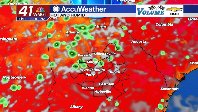
Today


This morning was much like all the others we have seen so far this week, however we will begin to observe some slight differences later this afternoon. We will be seeing some added cloud cover, primarily in the form of higher level cirrus clouds. The added cloud cover won’t do much, but it should limit our high temperatures by a few degrees. Most of the highs around Middle Georgia today are in the lower 90s, however heat indices are still pushing into the upper 90s and lower 100s.

As for todays rain chances, for some they are increasing but for some they will be the same as what we have seen so far this week. There is a bit of a boundary expected to setup in Middle Georgia this afternoon running from the southwest to the northeast. Those of us to the northeast of this line will see increased rain chances today. Where in Middle Georgia it will set up at isn’t exactly known, however it is safe to assume at this point that the counties closer to the Fall Line will have an increased chance to see storms today.


Any storms that fire up in the afternoon should subside as we head into tonight, however we could see one or two small showers overnight. Partly cloudy skies will continue to hang overhead as we roll into Friday morning. It will again be muggy overnight as lows drop into the mid 70s. A couple of spots could wake up to patchy fog tomorrow, especially if they see rain overnight.
Tomorrow


We will likely see a bit of added cloud cover tomorrow as well, once again in the form of more upper level cirrus clouds. Much like today, however, there will still be a good amount of sun that gets through them. At this time forecast highs for tomorrow are in the mid 90s for most of Middle Georgia, however if the added cloud cover today does indeed impact temperatures the way it is expected to don’t be surprised to see tomorrow’s highs in the lower 90s instead of the mid 90s.

Models are still truing to figure out exactly what tomorrow’s rain chances are going to be like as well. Some are predicting it will be like today where a boundary will set up halfway through the region. Other models think we will be on the north side of that boundary as a whole, thus bringing an increased chance for isolated showers and storms to all of Middle Georgia.


Unlike tonight, however, most of the clouds from tomorrow afternoon are expected to clear out during the overnight hours, thus rendering our overnight rain chances for Friday almost negligible. It will still be muggy and warm, however, as low temperatures stay in the mid 70s.
The Weekend


An approaching cold front will bring plenty of scattered storms to the northern parts of Georgia (i.e. the Atlanta area and northward). This will likely bring some scattered showers and storms to Middle Georgia on Saturday, however at this time there still remains a bit of uncertainty. The cold front is anticipated to stall out somewhere in the northern half of Georgia, and should it stall far enough north, our chances for rain on Saturday will drop.
Come Sunday that cold front will begin to lift back north, reducing our rain chances and bringing back mostly sunny skies to Middle Georgia. Highs will be in the upper 90s for most of the region as heat indices likely push north of 105° during the peak afternoon hours. A couple of stray showers in the afternoon will still be possible.

Follow Meteorologist Aaron Lowery on Facebook (Aaron Lowery 41NBC) and Twitter (@ALowWX) for weather updates throughout the day. Also, you can watch his forecasts Monday through Friday on 41NBC News at Daybreak (6-7 a.m.) and 41Today (11 a.m).