Rain and storms possible Tuesday

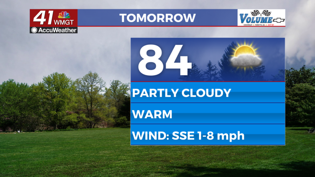
After another beautiful day in Middle Georgia, rain is back in the forecast tomorrow.
A cold front is pushing east from Alabama overnight and will weaken a bit as it does.
Tomorrow as we see some daytime heating we are expecting at least a few storms to pop up along the front.
The timing of the storms should be sometime after 1pm, when daytime heating is in full force.
Although the threat of severe storms is low, with it being spring time we can’t 100% rule out a strong storm.

Rain and storms should be out of the area by the evening hours Tuesday.
Clear skies and cooler conditions will move in quickly for Wednesday as highs warm only into the upper 70s and low 80s.
Sunny skies and slowly warming highs will be the hallmark for the rest of the week.

By Saturday we could see some scattered showers and storms possible as highs warm into the mid 80s.
There are still some questions about the timing for rain over the weekend, but right now it looks like we will be dodging showers through Monday.

Highs Monday will be a bit cooler than Sunday, partly thanks to rain and partly to cloud cover.
Temperatures next week look to stay warmer than normal.


