More heat and sun on deck for Tuesday
MACON, Georgia (41NBC/WMGT) – Summertime feels will take over Middle Georgia this afternoon.
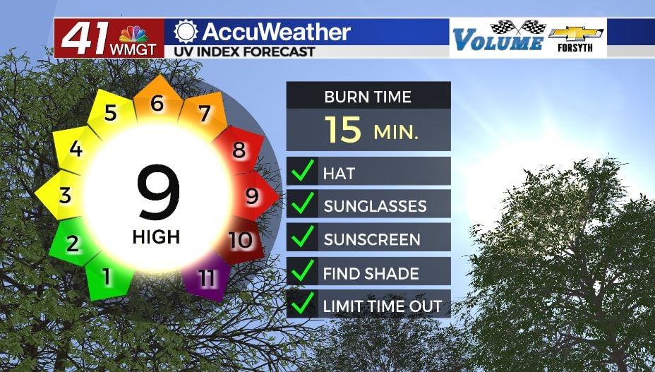
Today


The morning was mild for Middle Georgia following a night of clear skies. We will see an abundance of sunshine today as temperatures soar. Highs around the region this afternoon will be in the mid to upper 80s. Winds will blow from the south-southwest at 5-10 mph. Gusts could reach as high as 15 mph. Sunblock will be very important to remember out the door today as the UV index is forecast at 9. This is a very high UV index, indicating burn potential for those who are unprotected in 15 minutes or less. Limiting time in direct sunlight and staying in the shade are also highly recommended.


Skies will still be mostly clear as we head into tonight, however clouds will begin to fill in once the sun sets. The increase in clouds will intensify ahead of tomorrow morning, however blanket conditions are not expected. The overnight winds will remain out of the south at about 4-8 mph. Low temperatures are forecast to bottom out in the upper 50s and lower 60s.
Tomorrow


There will be plenty of warmth again Wednesday afternoon, however there will not be as much sun. Cloud cover will dominate as the sun is reduced to a few pockets around the region throughout the afternoon. The majority of the clouds will be upper level, however some lower level clouds will be present as well. Highs will reach the mid 80s around the region. Sunblock will be important again, even though the direct sunlight will be reduced. Winds will blow in from the south-southeast at 10-15 mph, adding a balmy breeze to the warm afternoon.


Cloud cover will thicken into a blanket after the sun sets. It will be humid and warm rolling into tomorrow morning as the winds blow in from the south-southwest at 5-10 mph and temperatures bottom out in the low to mid 60s. There is a slight chance for thunderstorms ahead of the sunrise Thursday morning.
Thursday and Beyond


Our next cold front will arrive Thursday morning, likely bringing storms with it. As of now the Storm Prediction Center (SPC) has issued a Level 1 “Marginal” risk for severe weather Thursday afternoon. The cold front looks to be pretty week upon arrival. Highs will be in the upper 70s with lows dropping into the mid to upper 50s.

Friday should see the sunshine return ahead of lunchtime, however clouds will return overnight. Highs will be in the low to mid 80s around the region with lows in the mid to upper 50s.
The weekend is flipping the script from recent trends with a forecast for mostly cloudy skies and scattered thunderstorms both days. Highs will be in the upper 70s and lower 80s both days as well.

Follow Meteorologist Aaron Lowery on Facebook (Aaron Lowery 41NBC) and Twitter (@ALowWX) for weather updates throughout the day. Also, you can watch his forecasts Monday through Friday on 41NBC News at Daybreak (6-7 a.m.) and 41Today (11 a.m).