Heat and humidity begin to return Tuesday
MACON, Georgia (41NBC/WMGT) – Temperatures are already beginning to rebound from this weekend across Middle Georgia.
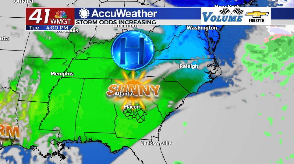
Today


Much like yesterday cloud cover will be hard to come across this afternoon around Middle Georgia. Temperatures will peak in the mid and upper 60s around the region as winds blow in from the east at 5-10 mph. These will gradually shift more towards the south as the evening progresses, eventually blowing from the east-southeast. This will allow moisture buildup to begin.


Overnight skies will remain mostly clear into tomorrow morning, giving a lovely view of the Full Snow Moon. Winds will blow from the east-southeast at 5-10 mph. Low temperatures will fall into the lower 40s.
Tomorrow


Cloud cover will begin to increase in the form of scattered clouds during the afternoon hours tomorrow. Isolated showers are likely beginning during the late morning hours and peaking around lunchtime. Any rain will be light and short lived. High temperatures will reach the low to mid 70s across Middle Georgia as winds blow in from the southeast at 10-15 mph. Gusts over 20 mph are likely heading into the overnight hours as a warm front begins to march through the state. Shower activity will taper off during the evening hours tomorrow.


Cloud cover will continue to thicken during the overnight hours as the wind continues to blow from the southeast. The added insulation will greatly warm low temperatures, limiting the drop to only the mid to upper 50s, or what we saw for high temperatures on Sunday. A few isolated showers will be possible through the overnight hours.
Thursday


Thursday will be a warm, humid, and cloudy day. High temperatures will reach the upper 70s and lower 80s across Middle Georgia with a balmy south-southeast wind coming in at 15-20 mph. The wind will very slowly shift towards the south-southwest throughout the day, increasing in speed up to 25 mph overnight with gusts well over 30 mph. A few showers are possible during the afternoon, but the heavy rain will arrive during the early overnight hours as the cold front arrives.


At this time Middle Georgia is under a Level 1 Marginal Risk for severe weather Thursday night. The primary risks look to be strong winds and locally heavy rain, however hail is possible and a spin-up tornado can never be ruled out. Once the cold front passes the wind will shift to the northwest and cloud cover will begin to slowly clear leading into Friday morning. Low temperatures will again only fall into the mid 50s.
Friday

Cloud cover will clear throughout the day on Friday as high temperatures peak in the upper 60s and low 70s. A few showers may linger in some of the southern counties of Middle Georgia early, however the whole region should see sunshine before the sun sets Friday evening.
Temperatures will remain in the 60s throughout the weekend with lows returning to the 30s Friday night. The next rain chance looks to move in overnight Sunday into Monday.

Follow Meteorologist Aaron Lowery on Facebook (Aaron Lowery 41NBC) and Twitter (@ALowWX) for weather updates throughout the day. Also, you can watch his forecasts Monday through Friday on 41NBC News at Daybreak (6-7 a.m.) and 41Today (11 a.m).


Leave a Reply