Multiple rounds of rain possible over next couple of days
MACON, Georgia. (41NBC/WMGT)- Showers and storms will be scattered today before more organized storms return tomorrow ahead of a cold front.
TODAY.

Much like yesterday we will be dealing with scattered showers and thunderstorms off and on for much of the afternoon. Under a partly sunny sky high temperatures will be back in the upper 80’s and lower 90’s. Tonight, temperatures will cool to near 70° with mostly cloudy conditions. Patchy dense fog is likely to form overnight.
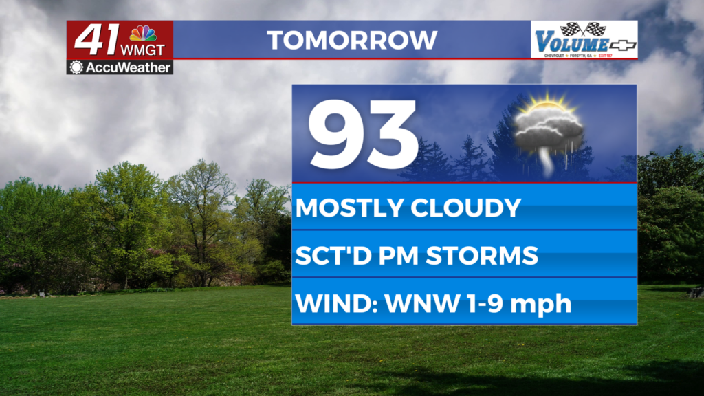
TOMORROW.

An approaching cold front will generate widespread showers and storms as we wrap up the work week. The afternoon and evening hours will be a washout at times. If you have any plans outdoor tomorrow after lunch time you might want to have a backup plan. Temperatures will be in the middle 80’s tomorrow afternoon before falling into the upper 60’s by Saturday morning.
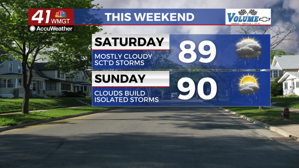
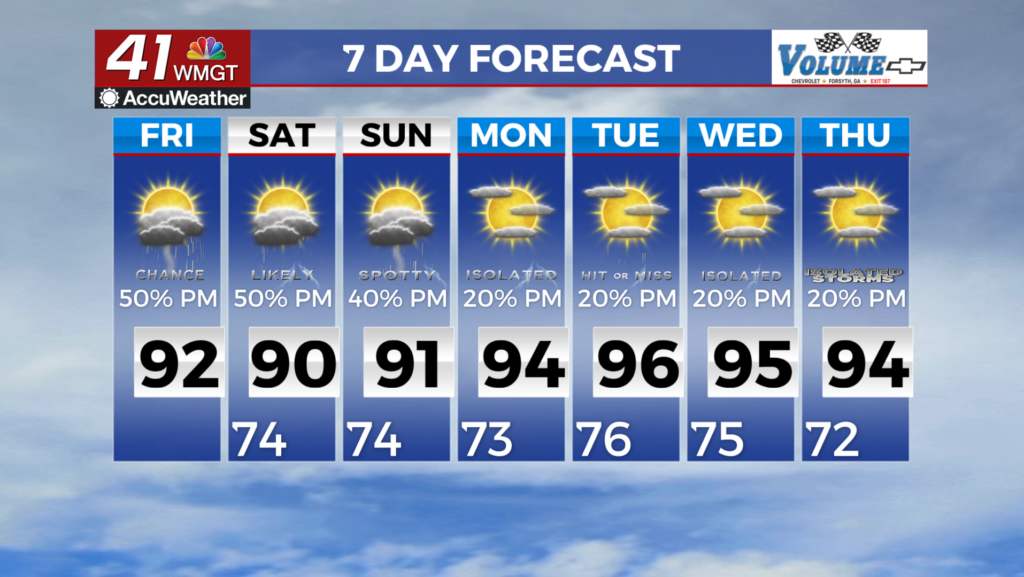
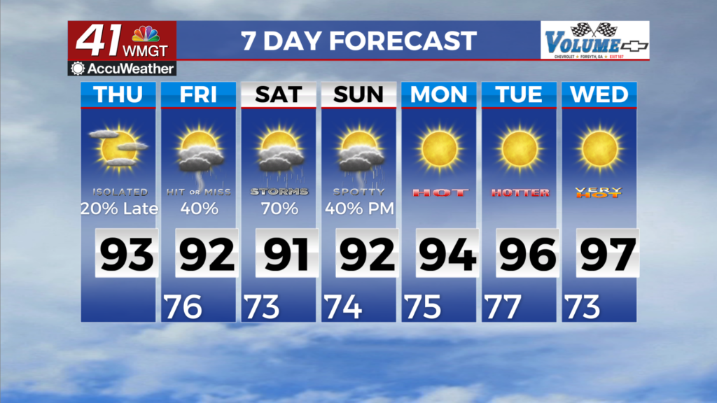
WEEKEND & BEYOND.

The cold front will clear our area by early Saturday, but isolated showers will remain for the weekend. Any outdoor plans you have should be a go, but a stray shower or two both on Saturday and Sunday is possible. If you hear thunder while outdoors this weekend make sure to get inside immediately and wait for the storm to move away.

Follow Meteorologist Dalton Mullinax on Facebook (Dalton Mullinax 41NBC) and Twitter (@MullinaxWX) for weather updates throughout the day. Also, you can watch his forecasts Monday through Friday on 41NBC News at Daybreak (6-7 a.m.) and 41Today (11 a.m).
Leave a Reply